What is recorded here
According to the Civil Survey (1654-56) there was a weir in the River Slaney at Tombrick, the property of Hugh Breine, an Irish Papist, in 1641. It remains unlocated. (Simington 1953, 278)
Compiled by: Michael Moore
Date of upload: 26 April, 2012
The monument record does not grant public access. Check the route and ask the landowner before entering private land.
- What survives
- Recorded monument
Places near here
 Tombrick WoodForest · 677 yd
 RoadRoad, road/trackway · 1391 yd
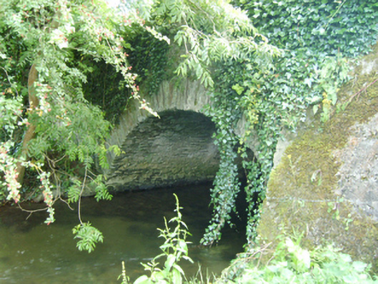 Coolattin Bridgebridge · 1448 yd
 European LarchEuropean Larch · 1580 yd
 IndicatedFairy fort / earthen ringfort · 1.9 mi
 Clohamon Castle (in ruins)Castle, unclassified · 2.1 mi
 Embanked enclosureFairy fort / earthen ringfort · 2.2 mi
 Ryland Castle (in ruins)Castle, unclassified · 2.3 mi
 Bunclody 1798 Bicentenary MemorialMemorial · 4.0 mi
 1798 rebellion Battle of Newtownbarry (AKA Bunclody) commemorative plaqueMemorial · 4.0 mi
 Gibbet HillMountain / peak · 4.8 mi
 John's HillMountain / peak · 5.3 mi