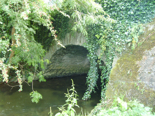
What is recorded here
Single-arch road bridge over river, extant 1839. Damaged, 1919. Bypassed, ----. Now disused. Creeper- or ivy-covered wall (north) between moss-covered rendered battered buttresses with overgrown rendered rounded coping to parapet; roughcast surface finish (south) with rendered rounded coping to parapet. Single segmental arch with rubble stone voussoirs (north) or roughcast voussoirs (south). Sited spanning River Glasha with unkempt banks to river.
A bridge representing an integral component of the civil engineering heritage of north County Wexford.
This does not grant access. Most recorded buildings are privately owned; view them only from public ground unless the owner allows entry.
Places near here
 RoadRoad, road/trackway · 233 yd
 European LarchEuropean Larch · 789 yd
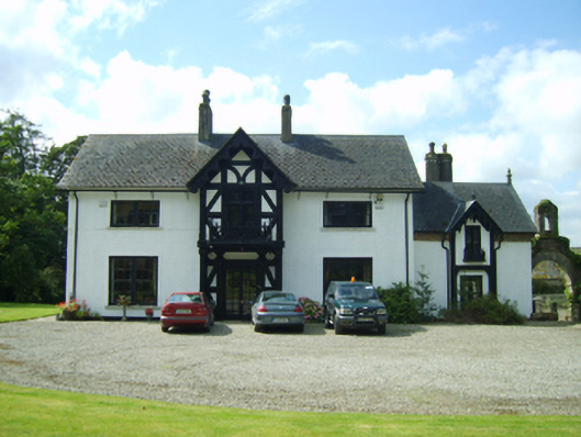 Ballyrankin Housefarm house · 820 yd
 European YewEuropean Yew · 826 yd
 IndicatedFairy fort / earthen ringfort · 1.3 mi
 Clohamon Castle (in ruins)Castle, unclassified · 1.3 mi
 Ryland Castle (in ruins)Castle, unclassified · 1.6 mi
 Embanked enclosureFairy fort / earthen ringfort · 1.9 mi
 Bunclody 1798 Bicentenary MemorialMemorial · 3.2 mi
 1798 rebellion Battle of Newtownbarry (AKA Bunclody) commemorative plaqueMemorial · 3.2 mi
 Gibbet HillMountain / peak · 4.0 mi
 John's HillMountain / peak · 4.7 mi
Other information
Photo: National Inventory of Architectural Heritage · Website use allowed for educational or private purposes with source credit