
What is recorded here
Situated on the flood-plain of the River Slaney. The cropmark of a roadway (L c. 340m) is visible on Google Earth (15/07/2018) as two parallel drains placed c. 5-10m apart that diverges from the line of the present N80 road at S on a more northerly course. It is undoubtedly an earlier line of this road, which is represented as following its present line on the 1835 edition of the OS 6-inch map. The Google image was first reported by Simon Dowling.
See the attached enhanced view from Google Earth
Compiled by: Michael Moore
Date of upload: 28 February 2020
The monument record does not grant public access. Check the route and ask the landowner before entering private land.
- What survives
- Recorded monument
Places near here
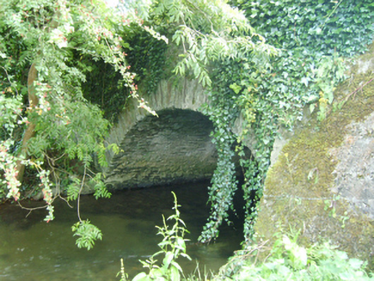 Coolattin Bridgebridge · 233 yd
 European LarchEuropean Larch · 565 yd
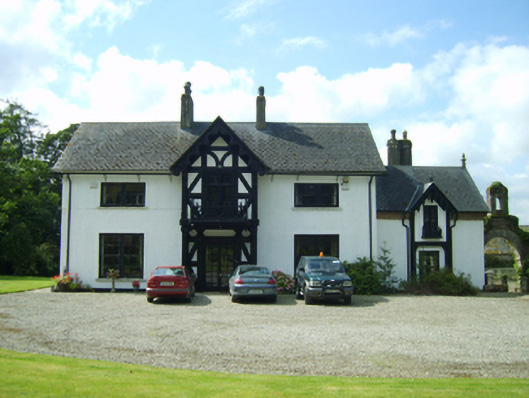 Ballyrankin Housefarm house · 603 yd
 European YewEuropean Yew · 611 yd
 IndicatedFairy fort / earthen ringfort · 1.2 mi
 Clohamon Castle (in ruins)Castle, unclassified · 1.4 mi
 Ryland Castle (in ruins)Castle, unclassified · 1.6 mi
 Embanked enclosureFairy fort / earthen ringfort · 1.8 mi
 Bunclody 1798 Bicentenary MemorialMemorial · 3.3 mi
 1798 rebellion Battle of Newtownbarry (AKA Bunclody) commemorative plaqueMemorial · 3.3 mi
 Gibbet HillMountain / peak · 4.0 mi
 John's HillMountain / peak · 4.9 mi
Other information
Photo: Credit not shown in the picture search · Rights wording not checked; contact us if this picture should be removed