What is recorded here
Situated in the middle of the tidal Fergus Estuary, N of the archipelago of islands. Described by O’Sullivan et al. (2010) as follows: Boarland Rock 3 is a V-shaped structure situated 300m further south of Boarland Rock 1 and Boarland Rock 2. It is smaller than both 1 and 2 but is similar in construction. The fences form curved lines and meet to form a funnel 3.5m long. The N-E S-E line is 27m in length and the shorter N-S line is 13m in length. The weir consisted of c. 60 uprights with little or no horizontal woods visible. Boarland Rock 4, 5 and 6 are located close by. A sample of wood from the funnel of Boarland Rock 3 fishweir has produced a calibrated radiocarbon date of AD1415-1453 (465 +/- 25 BP). It is closest in date to Boarland Rock 1. During fieldwork in 2009, post holes were noted at the lower part of the funnel end, indicating that part of the structure had been dismantled at some point. These post holes fill with sediment once the post is removed and differential erosion produces a posthole slightly raised from the surrounding muds.’ (O’Sullivan et al. 2010, Appendix 1, 35-6, Boarland Rock 3)
Compiled by: Mary Tunney
Date of upload: 8 October 2019
The monument record does not grant public access. Check the route and ask the landowner before entering private land.
- What survives
- Recorded monument
Places near here
 Gull RockNamed rock · 1.8 mi
 Enclosure in Drumquin (islands By.)Enclosure · 1.8 mi
 Rine PointHeadland · 1.9 mi
 Enclosure in Inishmore OR Deer IslandEnclosure · 2.1 mi
 Clenagh Castle (in Ruins)Castle, tower house · 2.5 mi
 Cragbrien Castle (Site of)Castle, unclassified · 2.5 mi
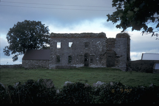 Teermaclane Housecountry house · 2.7 mi
 Ballycorick Bridgebridge · 2.8 mi
 Killone AbbeyHeritage attraction · 4.3 mi
 HawthornHawthorn · 4.4 mi
 Abbey WoodForest · 4.4 mi
 Pan Am Flight 1-10aviation accident · 4.5 mi