What is recorded here
Portdrine is a fish weir on the northern Shannon estuary, where a long line of posts still cuts through sandy clay at low water. The structure stretches eighty-five metres from northwest to southeast, blocking the tide and forcing silver fish into narrow kills. It may date from medieval times or appear later, but the river has answered the same wooden command for centuries.
On the N bank of the Shannon estuary adjacent to the townland of Portdrine. Described by O’Sullivan (2001, 305) as a post-medieval or possibly medieval ‘post alignment, oriented NW-SE, 85m long, in firm, sandy estuarine clays at LWM. March 1999.' (O'Sullivan 2001, 208-9, 305, O’Brien’s Point 1)
Compiled by: Mary Tunney
Date of upload: 21 August 2019
The monument record does not grant public access. Check the route and ask the landowner before entering private land.
- What survives
- Recorded monument
Places near here
 Friary (Site of)Religious house, unclassified · 508 yd
 Castle Donnell (Site of)Castle, unclassified · 589 yd
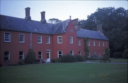 Cratloe Woodscountry house · 627 yd
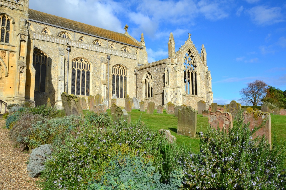 t. Margarets Church (in ruins)Church · 1034 yd
 Enclosure in CratloeEnclosure · 1382 yd
 Cratloekeel CastleCastle · 1498 yd
 Sailors HaggardMemorial · 1.1 mi
 Muckinish PointHeadland · 1.1 mi
 St James's WellSpring · 2.0 mi
 Coonagh NatureNature reserve · 2.4 mi
 Grass IslandIslet · 2.7 mi
 Maiden RockNamed rock · 3.0 mi