What is recorded here
The precise location of the 'Eel weir of Callaghbeolane' on the River Shannon that was mentioned in the 1654-56 Civil Survey of Co Limerick has not been identified (Mac Spealáin 1942, 99). The weir was located in close proximity to Athlunkard Bridge. The eel weir is depicted on the 17th century Down Survey map of St Patrick's Parish (NLI, MS 718). The 1654-56 Civil Survey of Limerick recorded that Sir Nicholas Comyn, Sir Geoffrey Gallway & George Creagh fiz Richard of Limerick were the owners of 'The South one halfe of the Eeleweare of Callaghbeolane mearing on the north with ye other halfe of the said weare belonging to the Earle of Thomond on the East wth the River of Shannon and land of Longford [Athlunkard] being in ye County of Clare' (Simington 1938, 482).
See attached Down Survey map of the parish of St. Patrick's which shows the traversing the River Shannon at Corbally.
Compiled by: Caimin O'Brien
Date of upload: 8 June 2020
The monument record does not grant public access. Check the route and ask the landowner before entering private land.
- What survives
- Recorded monument
Places near here
 Athlunkard Bridgebridge · 14 yd
 Fortification in AthlunkardFortification · 90 yd
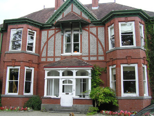 Woodlandshouse · 480 yd
 Fulacht fia in Corbally (limerick Municipal Borough)Fulacht fia · 744 yd
 CastleCastle, ringwork · 1206 yd
 Lough Derg WayWalking route · 1338 yd
 Site of Cromwell's FortFort · 1401 yd
 King's IslandIsland · 1505 yd
 Michael HoganMemorial · 1737 yd
 Grove IslandIslet · 1755 yd
 Graveyard in Limerick CityGraveyard · 1.0 mi
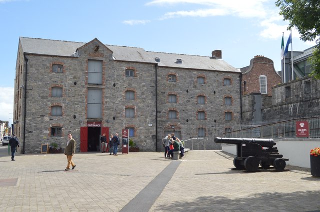 King John's Visitor's CentreMuseum · 1.0 mi