What is recorded here
Thirty-six metres of post and wattle still bend along the western bank near Bush Island, forming a shallow crescent that waits for the Shannon tide to pull back. Fish believe they are fleeing upstream when they walk straight into the closed mouth, trapped by the simple geometry of water and wood. The weir turns a ordinary creek into a patient hunter, proving that patience and shape can catch what force cannot.
Situated c. 340m E of Bush Island on the Shannon Estuary. Described by O’Sullivan (2001, 302) as a post-medieval ‘C-shaped post-and-wattle fence on W bank of creek, on upper foreshore, to W [sic] of Bush Island. Oriented E-W, 36m long; mouth faces upstream to catch fish on ebbing tide. July 2000.’ (O’Sullivan 2001, 205, 302, Bush Island 12)
Compiled by: Mary Tunney
Date of upload: 5 June 2019
The monument record does not grant public access. Check the route and ask the landowner before entering private land.
- What survives
- Recorded monument
Places near here
 Habitation site in Newtown (pubblebrien By.)Habitation site · 1488 yd
 Grass IslandIslet · 1572 yd
 Maiden RockNamed rock · 1.2 mi
 Rinekirk PointHeadland · 1.2 mi
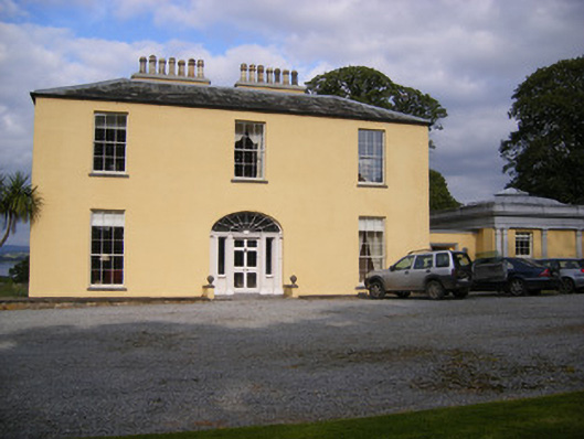 Mellon Housecountry house · 1.5 mi
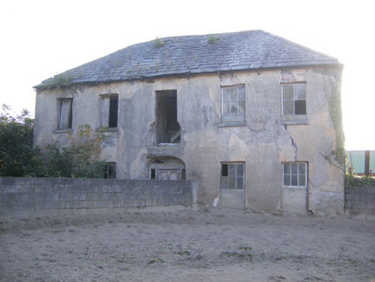 Churchfield Dairyhouse · 1.7 mi
 IndicatedBawn · 1.8 mi
 Bunratty Castlehouse · 1.8 mi
 Grave YardGraveyard · 1.8 mi
 Bunratty Castle and Folk ParkHeritage attraction · 1.8 mi
 Sweet ChestnutSweet Chestnut · 2.1 mi
 Sailors HaggardMemorial · 2.1 mi