What is recorded here
Weir is a post-medieval double row of stakes on the north bank of the Shannon estuary, lying beside Bush Island in County Clare. Its eighty metres of aligned posts cut across the upper foreshore like a broken ribbon dropped into the tide. Fish may have struck that line, people may have read the water by it, and the sea may have taken the rest.
On the N bank of the Shannon estuary adjacent to Bush Island. Described by O’Sullivan (2001, 302) as post-medieval ‘post alignments (double row) on N bank of creek on upper foreshore, NW of Bush Island, oriented NNE-SSW, 80m long. July 2000.' (O'Sullivan 2001, 205, 302, Bush Island 9)
Compiled by: Mary Tunney
Date of upload: 21 August 2019
The monument record does not grant public access. Check the route and ask the landowner before entering private land.
- What survives
- Recorded monument
Places near here
 Grass IslandIslet · 1197 yd
 Maiden RockNamed rock · 1594 yd
 Rinekirk PointHeadland · 1.0 mi
 Habitation site in Newtown (pubblebrien By.)Habitation site · 1.2 mi
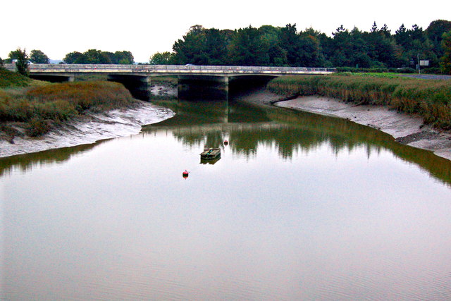 Bunratty Bridgebridge · 1.4 mi
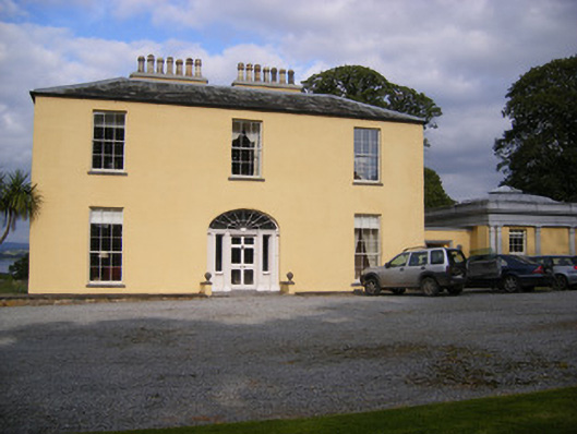 Mellon Housecountry house · 1.4 mi
 IndicatedBawn · 1.4 mi
 Bunratty Castlehouse · 1.5 mi
 Grave Yd.Graveyard · 1.5 mi
 Bunratty Castle and Folk ParkHeritage attraction · 1.5 mi
 Sweet ChestnutSweet Chestnut · 1.8 mi
 Castle Donnell (Site of)Castle, unclassified · 2.5 mi