What is recorded here
Weir stands on the north bank of the Shannon estuary beside Bush Island, a forty-metre post alignment crossing a creek on the upper foreshore. Built in the post-medieval period and braced on its west side, the structure turns tidal flow into a narrow gap where fish become easy to take. People likely watched that gap at low water, listening for the tell-tale strike of silver against wood before stepping into the cold creek.
On the N bank of the Shannon estuary adjacent to Bush Island. Described by O’Sullivan (2001, 302) as a post-medieval ‘post alignment crossing creek on upper foreshore, NW of Bush Island, oriented N-S, 40m long, braced on W side. July 2000.' (O'Sullivan 2001, 205, 302, Bush Island 10)
Compiled by: Mary Tunney
Date of upload: 21 August 2019
The monument record does not grant public access. Check the route and ask the landowner before entering private land.
- What survives
- Recorded monument
Places near here
 Grass IslandIslet · 1201 yd
 Maiden RockNamed rock · 1599 yd
 Rinekirk PointHeadland · 1.1 mi
 Habitation site in Newtown (pubblebrien By.)Habitation site · 1.2 mi
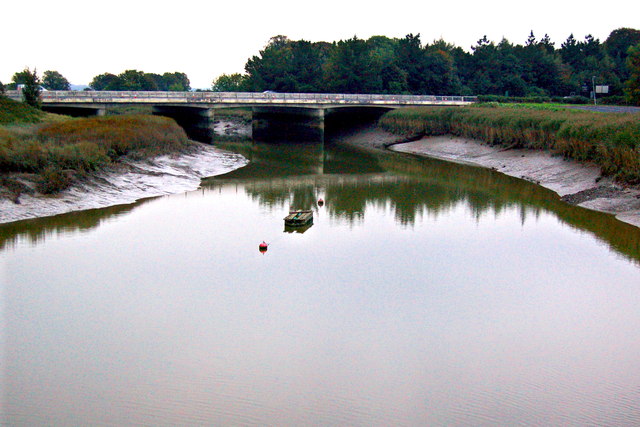 Bunratty Bridgebridge · 1.4 mi
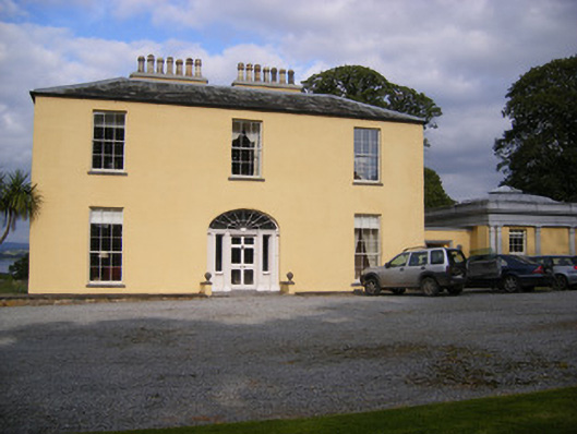 Mellon Housecountry house · 1.4 mi
 IndicatedBawn · 1.4 mi
 Bunratty Castlehouse · 1.5 mi
 Bunratty Castle and Folk ParkHeritage attraction · 1.5 mi
 Grave Yd.Graveyard · 1.5 mi
 Sweet ChestnutSweet Chestnut · 1.8 mi
 Castle Donnell (Site of)Castle, unclassified · 2.5 mi