What is recorded here
Weir is an L-shaped post-and-wattle fish fence in the Shannon Estuary, about 300m southeast of Bush Island in County Clare. Its two fences meet at a right angle, forming a narrow trap where the tide can drive salmon or sea trout into a corner. The water still moves through that angle, and the old wood may still hold the shape of the last fish that struck it.
Situated c. 300m SE of Bush Island in the Shannon Estuary. Described by O'Sullivan (2001, 303) as a post medieval 'L-shaped post-and-wattle fence, oriented NNE-SSW, 19m in total length, located 6m S of Bush Island 14. Flood fence oriented ENE-WSW, 3m long. Shore fence oriented NW-SE, 16m long. Enclosed angle c. 90 degrees. July 2000. (O’Sullivan 2001, 207, 303, Bush Island 18)
Compiled by: Mary Tunney
Date of upload: 26 July 2016
The monument record does not grant public access. Check the route and ask the landowner before entering private land.
- What survives
- Recorded monument
Places near here
 Grass IslandIslet · 1440 yd
 Habitation site in Newtown (pubblebrien By.)Habitation site · 1444 yd
 Maiden RockNamed rock · 1.1 mi
 Rinekirk PointHeadland · 1.1 mi
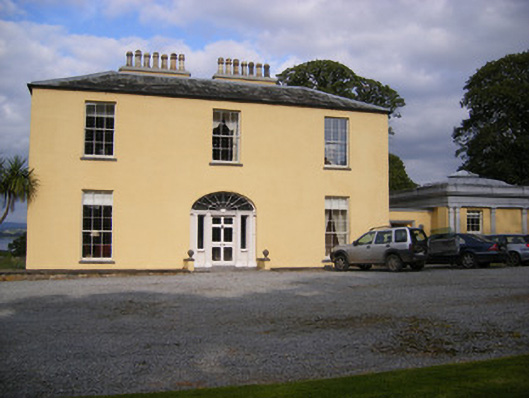 Mellon Housecountry house · 1.4 mi
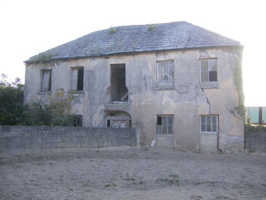 Churchfield Dairyhouse · 1.7 mi
 Grave YardGraveyard · 1.7 mi
 IndicatedBawn · 1.8 mi
 Bunratty Castlehouse · 1.9 mi
 Bunratty Castle and Folk ParkHeritage attraction · 1.9 mi
 Sailors HaggardMemorial · 2.2 mi
 Sweet ChestnutSweet Chestnut · 2.2 mi