What is recorded here
Barrycoribane may have been one place before it became two, and the white weir may still mark the seam where the Enny bends past Corrabaun. Farrall received it with a castle, a mill and living land in 1621, not as a dead name but as a working edge of the river. To lose the weir is not to forget facts; it is to stop hearing the water make the name.
A land grant to Gerald McRory Farrall in 1621 included the ‘castle [LF023-076----] and lands of Barry and Bunuvalla alias Cartrondrome and a water-mill [LF023-126] … and a fishing wear on the river Enny' (Cal. pat. rolls Ire., Jas I, 533). The precise location of the weir has not been identified but it may have been located along the river where it forms the W boundary of the townland of Corrabaun, which possibly means the ‘white weir’ (OSNB, Taghshinny parish, 1836-7, book 24, 447). Alternatively, it may have been in Barry (Kilcommock) or Barry (Ballymahon) townland as the river also flows through the village of Barry. In the 16th century Barry and Corrabaun are referred to as one townland in the rental book of the earl of Kildare, which records the ‘castel and lands of the Barrycoribane’ (Mac Niocaill 1992, 274).
Compiled by: Caimin O'Brien
Date of upload 2 October 2012
The monument record does not grant public access. Check the route and ask the landowner before entering private land.
- What survives
- Recorded monument
Places near here
 Not locatedCastle, unclassified · 1 yd
 Catholic Church of the Sacred Heartchurch/chapel · 334 yd
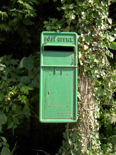 post boxpost box · 387 yd
 Indicated FortFairy fort / earthen ringfort · 761 yd
 DoonphilipCastle, motte · 849 yd
 Enclosure in Killeendowd,taghshinnyEnclosure · 883 yd
 Goldsmith Birthplace, PallasVisitor information · 2.4 mi
 Newcastle WoodsForest · 2.5 mi
 Target WoodWood · 2.8 mi
 Craft WorkshopHeritage attraction · 3.2 mi
 Guest ServicesVisitor information · 3.2 mi
 National Famine WayWalking route · 4.2 mi