What is recorded here
Weir is a weir (fish) in Athasselabbey North, Athasselabbey South, Cloghleigh (Relickmurray & Athassel parish), County Tipperary, Ireland. The 1654-6 Civil Survey named a fishing weir commonly called the black weir on the lands of Athassel. Two possible weirs appear on the 1840 and 1900-05 maps, about 700 metres north and about 1 kilometre south of the abbey.
The Civil Survey (1654-6) refers to the lands of Athassel where there 'stands an old Abby & a ffishing weire comonly called black weire' (Simington 1934, vol. 2, 6). This could be one of two weirs marked on the 1st (1840) and 1900-05 ed.OS 6-inch maps in the river c. 700m N of the abbey (TS068-013----) between Athasselabbey North and Cloghleigh townlands and c. 1km S of the abbey between Athasselabbey South and Cloghleigh townlands.
Compiled by: Jean Farrelly
Date of upload: 26 August 2011
The monument record does not grant public access. Check the route and ask the landowner before entering private land.
- What survives
- Recorded monument
Places near here
 CastleCastle, unclassified · 1 yd
 Site of ChurchChurch · 98 yd
 Field system in BallyslatteenField system · 687 yd
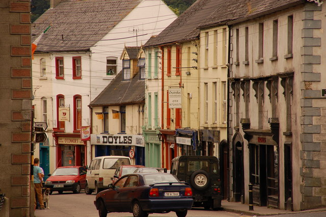 Bawn in Lagganstown UpperBawn · 929 yd
 Suircastle Househouse · 1359 yd
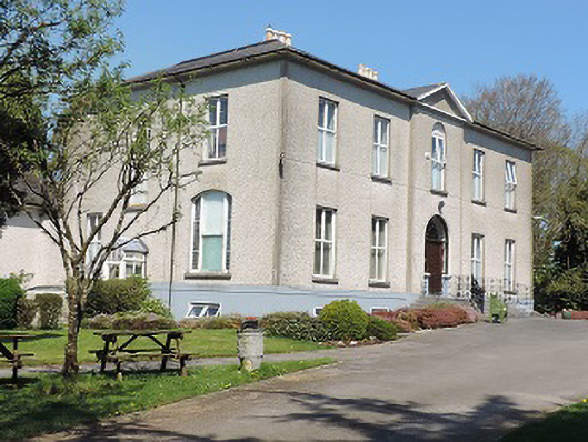 Cuan Mhuirecountry house · 1.1 mi
 Athassel PrioryHeritage attraction · 1.6 mi
 Caucasian zelkovaCaucasian zelkova · 3.4 mi
 Cappa WoodWood · 4.0 mi
 Slieveanard NE TopMountain / peak · 4.8 mi
 SturrakeenMountain / peak · 5.9 mi
 I.R.A. 3rd. Tipperary Brigade MemorialMemorial · 7.5 mi