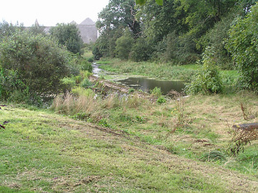
What is recorded here
From the Buildings of Ireland (National Inventory of Architectural Heritage) record 13307029
Places near here
Picture notes
- JP, Geograph · CC BY-SA 2.0
- Computer-made picture. It does not show this playground.
- Royalcanalrunner, Wikimedia Commons · CC BY-SA 4.0
- National Inventory of Architectural Heritage
- Computer-made picture. It does not show this monument.
- 瑞丽江的河水, Wikimedia Commons · CC BY-SA 4.0
- Mike Searle, Geograph · CC BY-SA 2.0
 Richmond HarbourHarbour/dock/port · 55 yd
Explorer Tom Richmond Harbour is telling its younger self to stop worrying about the boats that never came. It’s just a pretty limestone bowl now, waiting for someone to notice its curves. Linger, it’s not going anywhere soon.
 Children's playground61 ydComputer-made picture
 46th LockLock · 75 yd
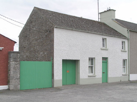 office88 yd
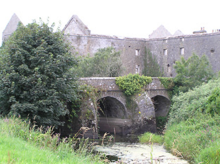 bridge100 yd
Explorer Tom Bridge in Cloondara is suspicious of the postman and probably thinks he’s up to something shady with that bag. The large arches look like they could swallow a whole tractor, so pretend you're a lost aristo
 Richmond BridgeBridge · 124 yd
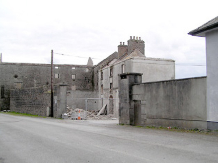 Richmond MillGates/railings/walls · 130 yd
 Graveyard136 ydComputer-made picture
Explorer Tom The Graveyard in Cloondara is secretly proud of one specific potato growing through its overgrown scrub. Two cross-slabs are on display nearby, looking like they’ve been to a very nice museum. Get a photo with it before it gets a better agent.
 Bullaun stone in CloondaraBullaun stone · 160 ydComputer-made picture
Explorer Tom Bullaun stone in Cloondara is next to an old graveyard and has a serious feud with the village over who owns the best mud. It’s carved into a boulder but keeps its eyes closed. Bring the dog, it'll have opinions.
 First World War MemorialMemorial · 4.4 mi
 Saint Mel's CathedralCathedral · 4.5 mi
 Rathcline CastleHouse, fortified house · 6.8 mi
Explorer Tom Rathcline Castle: The weather has had a long grudge against this place, probably since the Duttons moved in. It’s just one stubborn wall holding its tongue about what happened next. Stand where the owner stood and practise looking smug.
More historic places in County Longford · All of County Longford

What do you know about this place?Tap to add a comment or ask a question