What is recorded here
The monument was originally surveyed in 1974 and a description, plan and photograph depublished in Ó Nualláin (1989, no. 85): see linked document with details from this publication. At some subsequent point the monument was damaged and the facade and some other stones removed. A dump of boulders c. 20m N of the tomb probably relates to this activity. Only the tops of the outer-walling and the backstone are visible above the peat surface.
See attached images. SL023-001----_01 and 02 were taken in September 1974. SL023-001----_01 was taken looking W and SL023-001----_02 was taken looking NW. SL023-001----_03 was taken in June 2013 looking NW and shows the current condition of the tomb.
Compiled by: Paul Walsh
Date of upload: 25 June 2013
Wedge tomb; late Neolithic or early Bronze Age. Its form and dating are typical of western Ireland, reflecting regional funerary practices and megalithic traditions.
The monument record does not grant public access. Check the route and ask the landowner before entering private land.
- What survives
- Recorded monument
Places near here
 Field boundary in Caltragh (tireragh By., Rathmacurkey Ed)Field boundary · 1.9 mi
 Giant's GriddleArchaeological place · 1.9 mi
 CastleCastle, unclassified · 2.4 mi
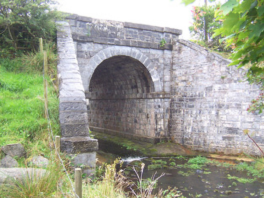 bridgebridge · 3.1 mi
 MeenamaddoMountain / peak · 3.9 mi
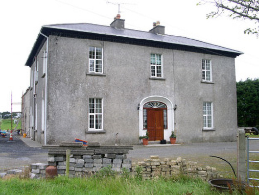 Oghil Housecountry house · 4.0 mi
 Ballynahowna CastleCastle, tower house · 5.1 mi
 Sruffaungarve TopMountain / peak · 5.1 mi
 Grave of the Black PigArchaeological place · 5.6 mi
 Lough Talt TrailVisitor information · 6.2 mi
 Wild Atlantic Way: Inishcrone PierVisitor information · 6.4 mi
 Split RockNamed rock · 6.7 mi