What is recorded here
Situated at the SE end of a broad NW-SE ridge. It is incorporated into the bank of a large enclosure (ME002-037002-) at W. It consists of an unroofed gallery (max. dims 3.4m NE-SW; 1.2m NW-SE) that opened to the SW where the gallery is widest and closed by a single stone (L 1.8m; H 0.45m). (Eogan 1958, 182-3) `
The above description is derived from the published 'Archaeological Inventory of County Meath' (Dublin: Stationery Office, 1987). In certain instances the entries have been revised and updated in the light of recent research.
Compiled by: Michael Moore
Date of revision: 31 August 2018
Wedge tomb, dating to the Late Neolithic or Early Bronze Age (c. 2500–1000 BCE). Its incorporation into a large enclosure suggests a significant ritual or territorial function in the landscape.
The monument record does not grant public access. Check the route and ask the landowner before entering private land.
- What survives
- Recorded monument
Places near here
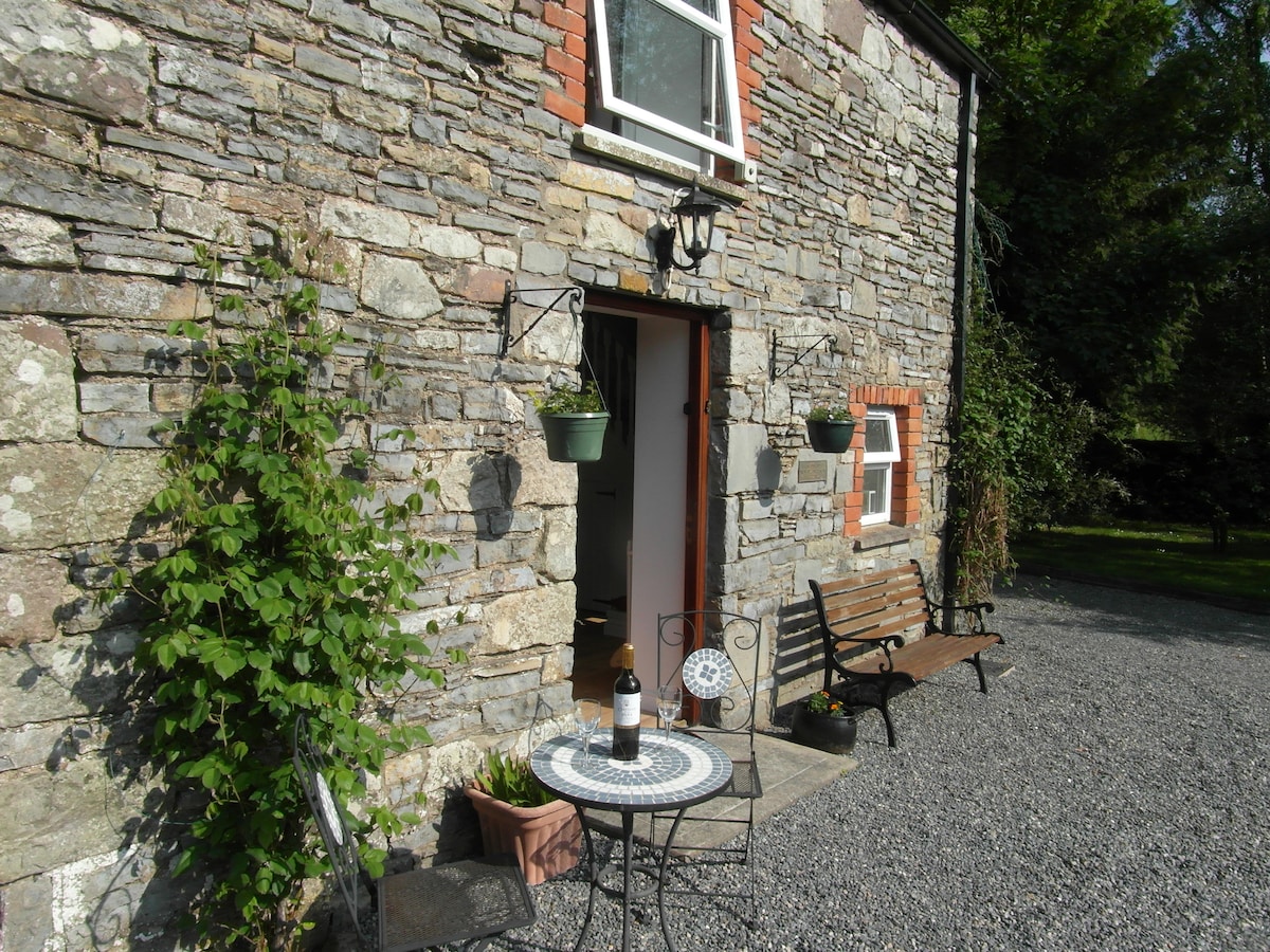 Enclosure in EdengoraEnclosure · 56 yd
 IndicatedFairy fort / earthen ringfort · 1404 yd
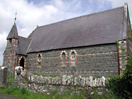 Saint Columba's Church (Moybolgue)church/chapel · 1534 yd
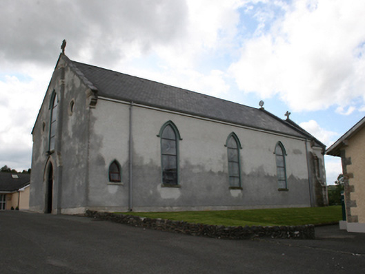 Our Lady of Mount Carmelchurch/chapel · 2.2 mi
 TeevurcherMountain / peak · 2.2 mi
 Miltown GlenWood · 2.3 mi
 Castle in ruinsCastle, unclassified · 2.5 mi
 Fair of MuffMemorial · 2.6 mi
 The CurraghWood · 2.6 mi
 Blackhills LowerMountain / peak · 3.1 mi
 Castkecome RuinsCastle, unclassified · 3.2 mi
 Giants GraveArchaeological place · 4.0 mi