What is recorded here
Kilboyne holds a circular earthen fort on a drumlin slope, marked by a wide bank, narrow ditch and small outer ridge. The entrance has vanished beneath grass and scrub, but the shape still points to a lived place rather than a fairy tale. People may have stood inside that circle, watched the SE valley or kept what they valued from loss. The fort no longer speaks in names, yet it keeps the fact that someone shaped the land and left it behind.
Located on knoll on the SE-facing slope of a drumlin. This is a circular grass and scrub-covered area (diam. 26.5m NW-SE) that slopes down to the SE (H 1.6m). It is defined by an overgrown earthen bank (at NW: Wth of base 5m; int. H 1.5m; ext. H 2.7m) W-N-E separated by a fosse (at NW: Wth of top 7.8m; Wth of base 3.8m; ext. D 1.4m) from a small counterscarp bank (at NW: Wth of base 2.2m; ext. H 0.2m) W-N-E. The perimeter is provided by a scarp (at SE: Wth 6.5m; H 3m) E-S-W. The original entrance is not identified.
The above description is derived from the published 'Archaeological Inventory of County Meath' (Dublin: Stationery Office, 1987). In certain instances the entries have been revised and updated in the light of recent research.
Compiled by: Michael Moore
Date of revision: 31 August 2018
The monument record does not grant public access. Check the route and ask the landowner before entering private land.
- What survives
- Recorded monument
Places near here
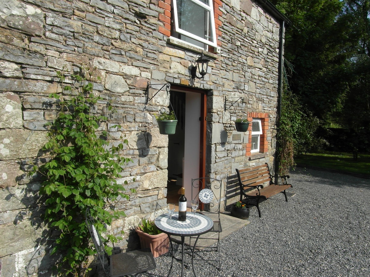 Enclosure in EdengoraEnclosure · 1045 yd
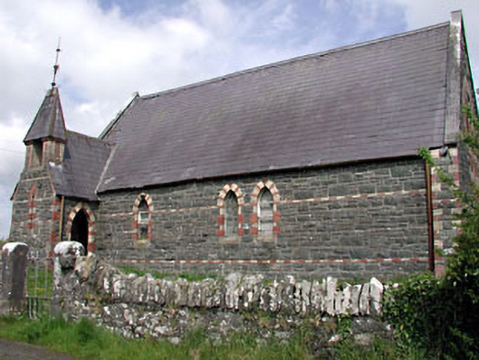 Saint Columba's Church (Moybolgue)church/chapel · 1258 yd
 Fools FortFairy fort / earthen ringfort · 1722 yd
 TeevurcherMountain / peak · 2.1 mi
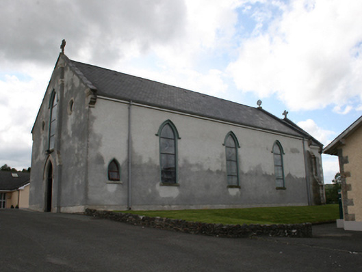 Our Lady of Mount Carmelchurch/chapel · 2.7 mi
 Miltown GlenWood · 2.7 mi
 CastleCastle, tower house · 2.8 mi
 Blackhills LowerMountain / peak · 2.9 mi
 Castle in ruinsCastle, unclassified · 3.0 mi
 Fair of MuffMemorial · 3.1 mi
 The CurraghWood · 3.2 mi
 Giants GraveArchaeological place · 4.6 mi