
What is recorded here
Located towards the top of a S-facing slope, it is depicted on the 1836 and 1908 editions of the OS 6-inch map and it is described as ‘Fool’s Fort’ on both in gothic lettering. This is a circular grass-covered area (diam. 38m N-S; 37m E-W), the S half of which slopes down to the S (H 2m). It is defined by a grass-covered earthen bank (Wth of base 5-5.4m; int. H 0.2m at S to 1.1m at N) that has become overgrown since 1968 (Digitalmap), with an outer fosse (at N: Wth of base 2.6m; ext. D 0.3m) NNW-NE. The original entrance is likely to be that at ESE (Wth of base 1.1m). Archaeological testing (99E0477) to the S and SE failed to produce any related archaeological material (Murphy 2000).
The above description is derived from the published 'Archaeological Inventory of County Meath' (Dublin: Stationery Office, 1987). In certain instances the entries have been revised and updated in the light of recent research.
Compiled by: Michael Moore
Date of revision: 3 September 2018
The monument record does not grant public access. Check the route and ask the landowner before entering private land.
- What survives
- Recorded monument
Places near here
 EnclosureEnclosure, large enclosure · 1.2 mi
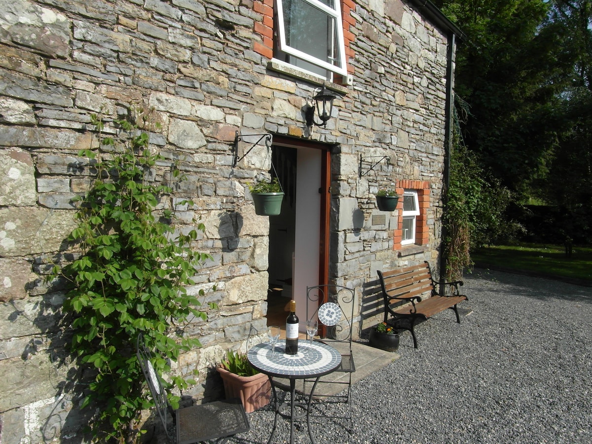 Enclosure in EdengoraEnclosure · 1.5 mi
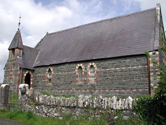 Saint Columba's Church (Moybolgue)church/chapel · 1.6 mi
 UghtyneillMountain / peak · 2.2 mi
 Castkecome RuinsCastle, unclassified · 2.2 mi
 CastleCastle, tower house · 2.3 mi
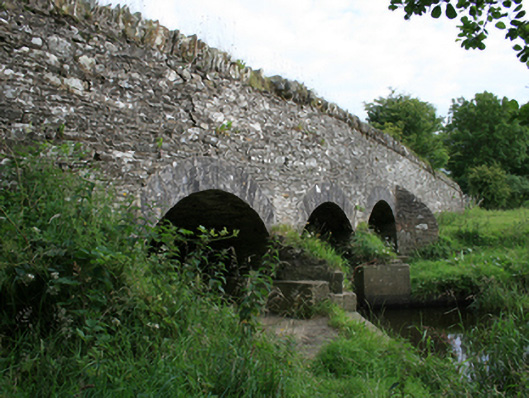 Annesbrook Bridgebridge · 2.7 mi
 TeevurcherMountain / peak · 2.8 mi
 Miltown GlenWood · 3.0 mi
 North Mullaghmore WoodWood · 3.1 mi
 Fair of MuffMemorial · 4.0 mi
 Sally IslandIslet · 4.3 mi
Other information
Photo: Credit not shown in the picture search · Rights wording not checked; contact us if this picture should be removed