
What is recorded here
Situated towards the bottom of a NW-facing slope. This is a large oval area (dims c. 80m NNE-SSW; 60m NW-SE) defined by a scarp (Wth c. 18m; H 2-2.7m) SSW-W-NNE, with an outer fosse (at NNE: Wth of top 7m; int. D 1.3m; ext. D 0.8m) and counterscarp bank (at NNE: Wth 3m; ext. H c. 0.3m) W-NNE. The perimeter is probably incorporated into a field bank and townland boundary with Tullypole at S but is absent elsewhere. Inside the perimeter at SSE is an upright pillar stone (dims 0.17m x 0.08m; H 0.5m) which has a simple latin cross carved on one face extending the width of the stone and to within 5cm of its top edge (Hicks 1974, 157). The scarp and fosse had been removed by 1995 (OSAP).
The above description is derived from the published 'Archaeological Inventory of County Meath' (Dublin: Stationery Office, 1987). In certain instances the entries have been revised and updated in the light of recent research.
Compiled by: Michael Moore
Date of revision: 3 September 2018
Amended: 14 December 2022
A local fairy fort (ringfort/rath); wider significance not recorded.
The monument record does not grant public access. Check the route and ask the landowner before entering private land.
- What survives
- Recorded monument
Places near here
 UghtyneillMountain / peak · 1649 yd
 Dungunnion FortFairy fort / earthen ringfort · 1.1 mi
 Corskeltiagh FortFairy fort / earthen ringfort · 1.2 mi
 Castkecome RuinsCastle, unclassified · 1.3 mi
 North Mullaghmore WoodWood · 2.0 mi
 Rathmanoo Fox CovertWood · 2.0 mi
 CastleCastle, motte · 2.2 mi
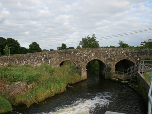 Rosehill Bridgebridge · 2.4 mi
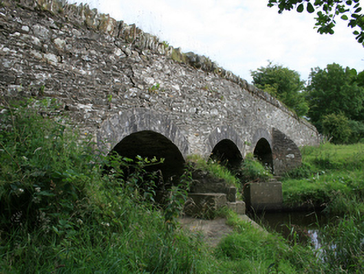 Annesbrook Bridgebridge · 2.6 mi
 Moynalty Steam Threshing MuseumMuseum · 3.3 mi
 TeevurcherMountain / peak · 4.0 mi
 Owenroe and Moynalty DrainageMemorial · 4.0 mi
Other information
Photo: Credit not shown in the picture search · Rights wording not checked; contact us if this picture should be removed