What is recorded here
One roofstone has slipped south, overlapping the first and obscuring the chamber where two different numbers of stones still form the sides. The wedge points west through rough grazing, its entrance exposed while the east end remains closed beneath the displaced rock. Whatever lived inside that narrow shadow has vanished, leaving only the weight of the stones to mark the difference between a completed tomb and a broken one.
In rough grazing, on a SW-facing slope. A wedge-shaped chamber (L 2.7m; Wth 1.4m at the W end; Wth 1.15m at the E end) aligned E-W and closed by a backstone at E. The N side is composed of a single sidestone while the S side has two. At the E end, a roofstone (1.45m x 1.4m; T 0.2m) rests on the backstone, the N sidestone and the most easterly of the S sidestones. Another roofstone (2m x 1.55m; T 0.25m) has slipped to the S from its original position and overlaps the SW corner of the in situ roofstone and obscures some of the stones. Some stones are embedded in the ground immediately to the W of the tomb.
The above description is derived from the published 'Archaeological Inventory of County Kerry. Volume I: South-West Kerry' (Dublin: Stationery Office, 2009). In certain instances the entries have been revised and updated in the light of recent research.
Date of upload: 30 May 2011
Wedge tomb, dating to the Late Neolithic or Early Bronze Age (c. 2500–1000 BCE). Its E-W alignment and chamber dimensions are typical of wedge tombs found in the Atlantic facade region of Ireland, reflecting regional funerary practices and landscape orientation traditions.
The monument record does not grant public access. Check the route and ask the landowner before entering private land.
- What survives
- Recorded monument
Places near here
 Bonane Heritage ParkMuseum · 206 yd
 Bullaun StoneHeritage attraction · 334 yd
 Famine RuinRuins · 449 yd
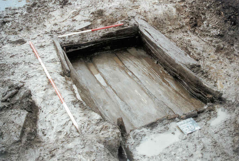 Fulacht FiadhArchaeological place · 477 yd
 Dromagorteen Br.Bridge · 588 yd
 IndicatedEnclosure · 742 yd
 BeneenMountain / peak · 1465 yd
 DerrynacaheraghMountain / peak · 2.3 mi
 The Priests LeapViewpoint · 3.3 mi
 CastleCastle, unclassified · 3.6 mi
 CaoinkeenCliff · 3.7 mi
 Mucksna Nature ReserveNature reserve · 4.0 mi