What is recorded here
Darrie Boushel Payne brought the collapsed wedge tomb in Caherbarnagh to official notice, preserving a chamber where heavy slate slabs still lean across a narrow passage. The north slab has fallen inward beneath a broad roofstone, yet the south slab holds its tapering line toward the sea. That partial collapse does not diminish the tomb; it reveals the violence of time and the patience of stone.
On a level area on a high knoll with spectacular views over the sea to the S. A partially collapsed wedge tomb, reported to the National Monuments Service by Darrie Boushel Payne. The tomb is orientated roughly E-W, higher at the W, comprising three heavy slate slabs, a sidestone at N and one at S and an almost square roofstone. The S slab (L 2.72m; H 1.6m at W, 0.52m at E; T 0.18m) tapers to the E and leans out to the S. The N slab (measurable L 2.45m; H at W 0.7m; T 0.18m) is not measurable at E as it has collapsed inwards on the chamber (to S) and the large roofstone lies above it. The chamber measures 0.82m at W and although the E end could not be measured accurately it appears to be narrower. The roofstone (L 2.57m E-W; 2.22m N-S; T 0.16-0.17m) is somewhat embedded at N but still rests on the S sidestone. The N sidestone projects to W c. 0.4m beyond the roofstone and may have formed part of a simple portico. Some small loose field stones lie in and around the monument. A standing stone (CL015-132----) is visible c. 90m to the SW.
The following images have been uploaded:
CL015-152----_01.jpg View of tomb from E
CL015-152----_02.jpg View from S
CL015-152----_03.jpg View from W
CL015-152----_04.jpg View from N
CL015-152----_05.jpg View of interior from W
Compiled by: Mary Tunney
Date of upload: 13 March 2023
Wedge tomb, dating to the Late Neolithic or Early Bronze Age (c. 2500–1000 BCE). Its location on a prominent coastal knoll suggests it may have had ritual or social significance within the local landscape.
The monument record does not grant public access. Check the route and ask the landowner before entering private land.
- What survives
- Recorded monument
Places near here
 Enclosure in Ballycotteen SouthEnclosure · 1172 yd
 IndicatedFairy fort / earthen ringfort · 1.1 mi
 Cliffs of Moher Visitor CentreVisitor information · 1.4 mi
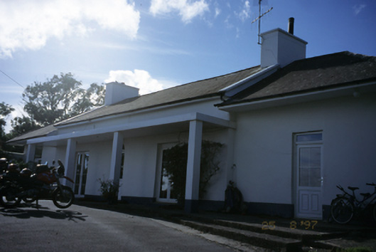 Sandfield Lodgehouse · 1.5 mi
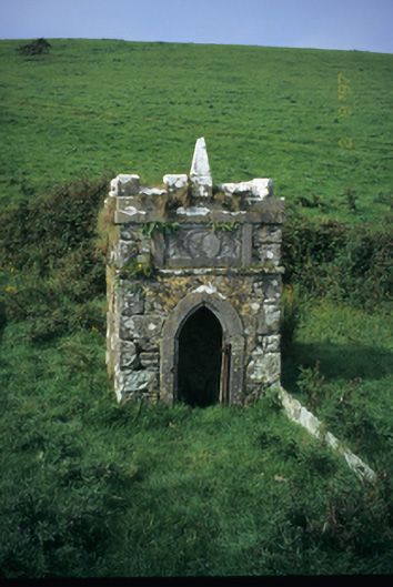 Spa Wellwell · 1.5 mi
 Doolin Cliff WalkWalking route · 1.7 mi
 Bridget's Well;St Bridget's WellSpring · 1.7 mi
 Sea StackMountain / peak · 1.8 mi
 John P. Holland CentreMuseum · 2.1 mi
 Liscannor Castle (in Ruins)Castle, tower house · 2.3 mi
 Dough CastleRuins · 2.3 mi
 Cliffs of MoherCliff · 2.4 mi