
What is recorded here
Indicated is a shallow Clare ringfort where a fading bank still draws an imperfect circle across a sunny pasture slope. It has watched cattle, weather and forgotten feet for centuries, keeping its small shape while human memory thins. The field may have held a home, a boundary marker or a child's climbing ring before it became scenery.
On a SSE-facing pasture slope. Hachured on both the first (1842) and Cassini (1920) editions of the OS 6-inch map, and named ‘Liscoul’ on the OS 25-inch plan (1897) Cassini edition (1920) of the OS 6-inch map. Listed as ‘Enclosure’ in the RMP (1996). This subcircular rath (diams. 28m E-W; 26.25m N-S) is defined by a very low bank (int. H 0.1m; ext. H 0.3-0.6m; Wth 2m) from WSW-W-NNW which is reduced to a scarp elsewhere (H 0.1-0.75m). A. A low natural scarp (H 0.2m) runs outside the rath from SE-S-W. There is a field-clearance cairn in the NE sector of the rath’s interior, which is otherwise level and featureless.
Compiled by: Gearóid Conroy and Conn Herriott
Date of upload: 3-10-2025
The monument record does not grant public access. Check the route and ask the landowner before entering private land.
- What survives
- Recorded monument
Places near here
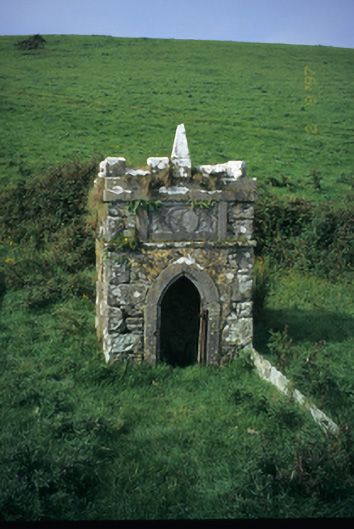 Spa Wellwell · 838 yd
 St Bridgets WellHoly well · 1270 yd
 Saint Bridget's Wellholy well · 1273 yd
 Bridget's Well;St Bridget's WellSpring · 1276 yd
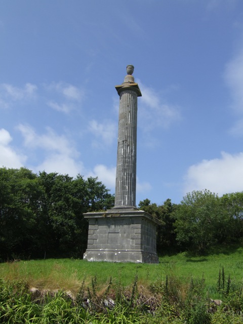 O’Briens MonumentMonument · 1321 yd
 Cliffs of Moher Visitor CentreVisitor information · 1521 yd
 Sea StackMountain / peak · 1.2 mi
 Cliffs of MoherCliff · 1.4 mi
 John P. Holland CentreMuseum · 1.8 mi
 Liscannor Castle (in Ruins)Castle, tower house · 2.0 mi
 CastleCastle, unclassified · 2.0 mi
 Doolin Cliff WalkWalking route · 2.1 mi
Other information
Photo: Credit not shown in the picture search · Rights wording not checked; contact us if this picture should be removed