What is recorded here
Excavations in 1994 revealed a north-south watercourse whose western edge was held by a clay bank, feeding a stone-lined millrace dated to the 13th or 14th century. The channel still carries the shape of human direction, even if the townland has lost its name.
Excavations in 1994 exposed a section of watercourse running N-S and contained on its W side by a clay bank. It ran downstream and was channelled in a stone-lined millrace of 13th-14th century date (94E 160).
The monument record does not grant public access. Check the route and ask the landowner before entering private land.
- What survives
- Recorded monument
Places near here
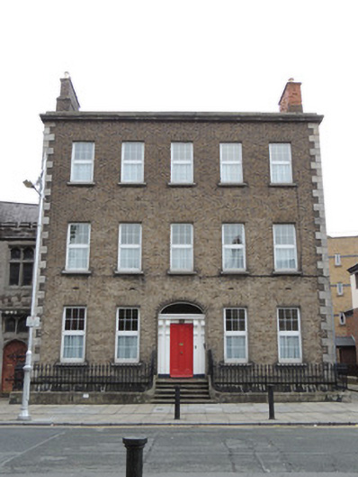 Saint Michan's Presbyterypresbytery/parochial/curate's house · 23 yd
 Saint Michan's Roman Catholic Churchchurch/chapel · 49 yd
 Burial in Unknown TownlandBurial · 104 yd
 London PlaneLondon Plane · 294 yd
 Hungry TreeHeritage attraction · 297 yd
 Habitation site in Unknown TownlandHabitation site · 309 yd
 14 Henrietta Street museumMuseum · 334 yd
 Sir John T GilbertMemorial · 381 yd
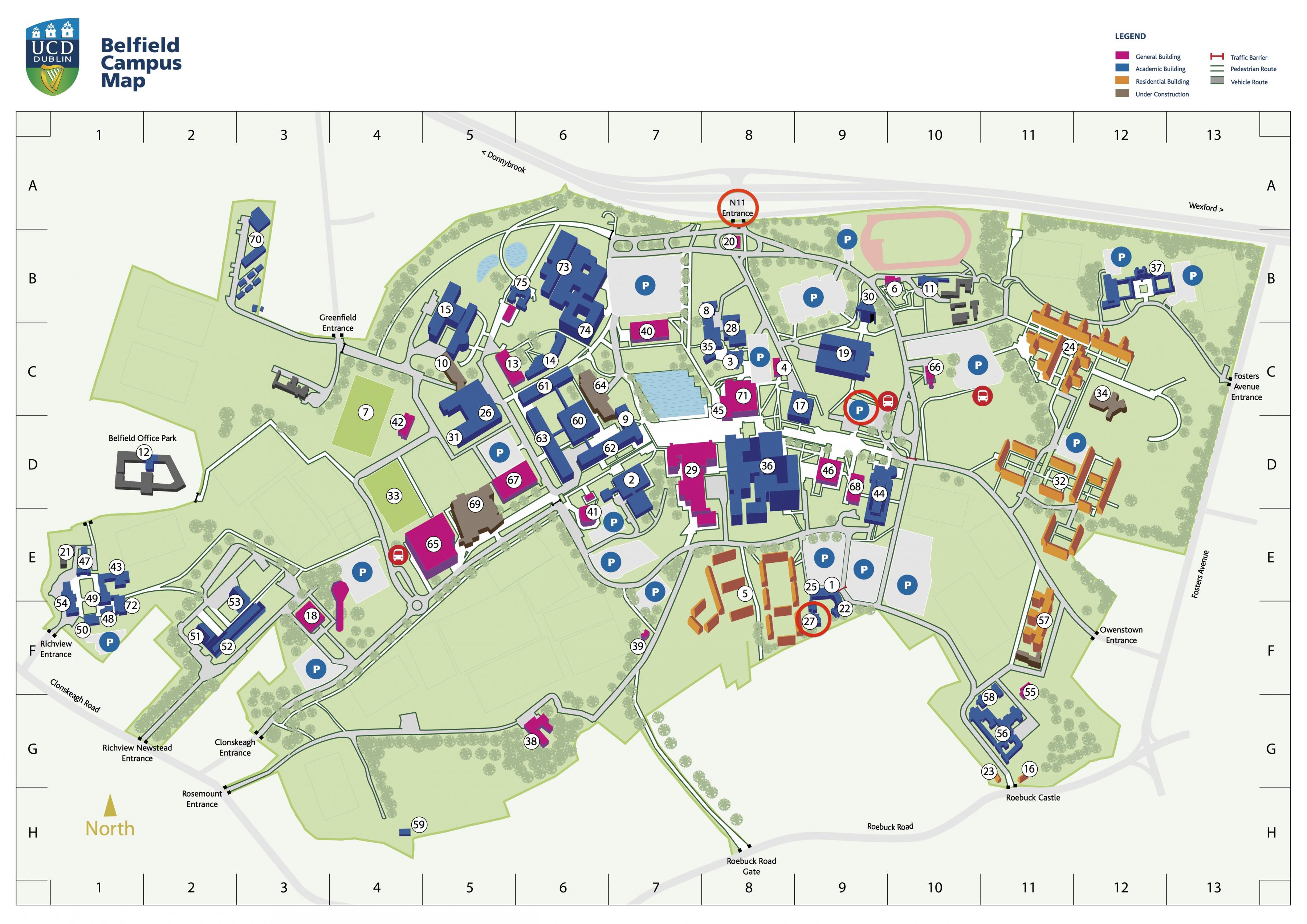 Campus Information PointVisitor information · 935 yd
 Burial ground in Unknown TownlandBurial ground · 988 yd
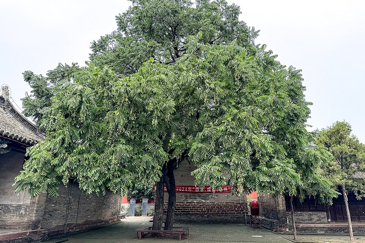 Chinese ToonChinese Toon · 992 yd
 Croppies Acre MemorialMemorial · 1059 yd