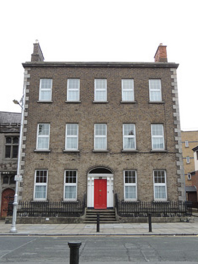
What is recorded here
Corner-sited attached five-bay three-storey over basement presbytery, built 1861. M-profile pitched slate roof, with red brick chimneystacks on gable walls and cut granite cornice. Cast-iron rainwater goods. Brown brick walls laid in Flemish bond, having cut granite quoins. Cut granite plinth course and cement-rendered walls to basement. Square-headed window openings with gauged brick voussoirs, cut granite sills, rendered reveals. Round-arched stair windows to rear elevation. Replacement uPVC windows throughout. Elliptical-arched door opening, timber panelled door, carved timber surround, with plain overlight. Granite platform and cut granite nosed steps. Basement enclosed by cast-iron railings on cut granite plinth wall. Concrete paving with granite kerbstones to Halston Street to east, and to Ball’s Lane to north. Garden to west shared with Saint Michan’s Catholic Church to south.
Buildings were present on the site of the presbytery on the 1837 Ordnance Survey map, and Thom’s Directory of 1850 records ‘Saint Michan’s Roman Catholic Chapel Presbytery’. The current building dates from 1861 and was designed by John Bourke, a Dublin builder and architect. The large windows, tall floor to ceiling heights and substantial size indicate the prosperity and confidence of the Roman Catholic Church following emancipation. It probably replaced a smaller parochial house on the site. The 1907 Ordnance Survey map identifies the building as a presbytery, with a smithy to the rear of the house, accessed from Ball’s Lane. Although the timber sash windows have been substituted with uPVC windows, it retains its form and proportions and much of its character. The fine granite quoins and cast-iron railings add to the patina of age, and are testament to the craftsmanship of the Victorian era.
This does not grant access. Most recorded buildings are privately owned; view them only from public ground unless the owner allows entry.
Places near here
 Saint Michan's Roman Catholic Churchchurch/chapel · 29 yd
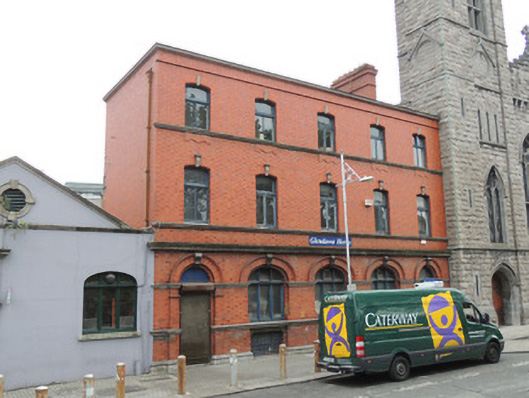 Glendawn Herbsoffice · 42 yd
 Burial in Unknown TownlandBurial · 116 yd
 Habitation site in Unknown TownlandHabitation site · 301 yd
 London PlaneLondon Plane · 317 yd
 Hungry TreeHeritage attraction · 321 yd
 National Leprechaun MuseumHeritage attraction · 348 yd
 Sir John T GilbertMemorial · 370 yd
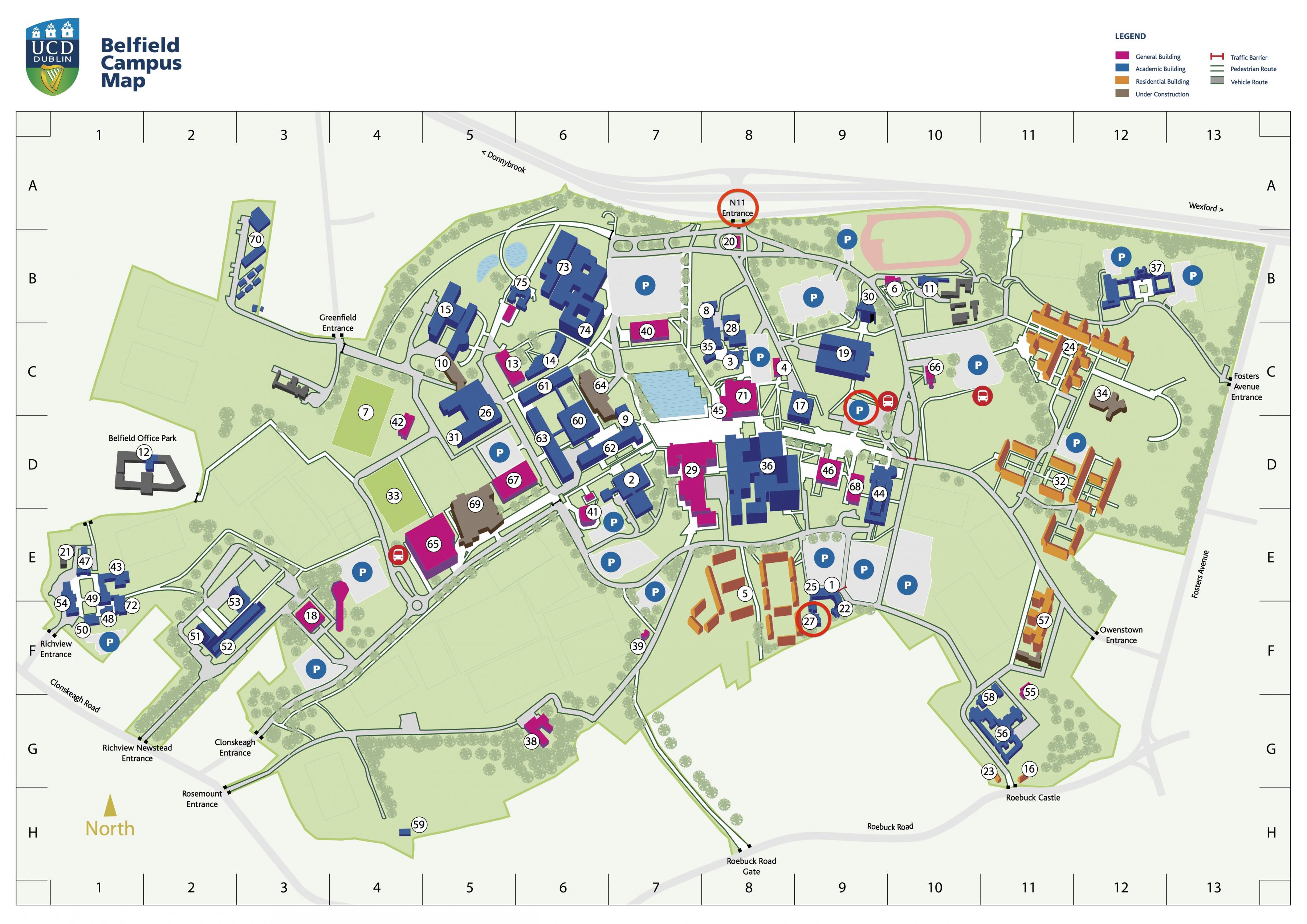 Campus Information PointVisitor information · 956 yd
 Burial ground in Unknown TownlandBurial ground · 995 yd
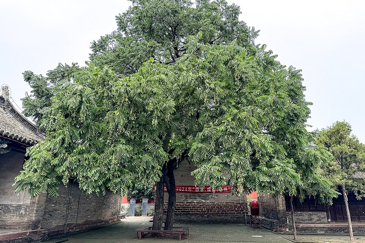 Chinese ToonChinese Toon · 1011 yd
 Croppies Acre MemorialMemorial · 1061 yd
Other information
Photo: National Inventory of Architectural Heritage · Website use allowed for educational or private purposes with source credit