What is recorded here
A land grant to James McConell Farrall in 1620 included the ‘castle [LF023-123002-], town and lands of Tenelick, with one water-mill' (Cal. pat. rolls Ire., Jas I, 481). It is depicted on the Down Survey (1655-6) map of Abbeyshrule barony (NLI, MS 719) as a vertical-wheeled mill, to the W of the castle. Its precise location has not been identified but it is possible that the ‘Corn Mill’ shown on the 1837 ed. of the OS 6-inch map may have been built on or close to its site or it may incorporate it. Several cut-stone fragments (LF023-123004-), including alternating long and short quoins stones with punch dressing of late 16th/17th-century appearance, are visible on the SE angle of the building. They may be from the earlier water mill or, alternatively, they may be from the castle.
Compiled by: Caimin O'Brien
Date of upload: 16 October 2012
The monument record does not grant public access. Check the route and ask the landowner before entering private land.
- What survives
- Recorded monument
Places near here
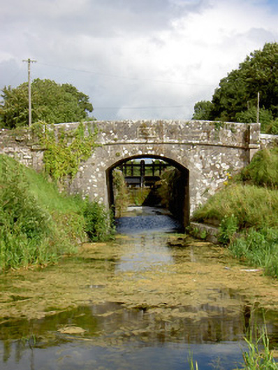 Draper's Bridgebridge · 558 yd
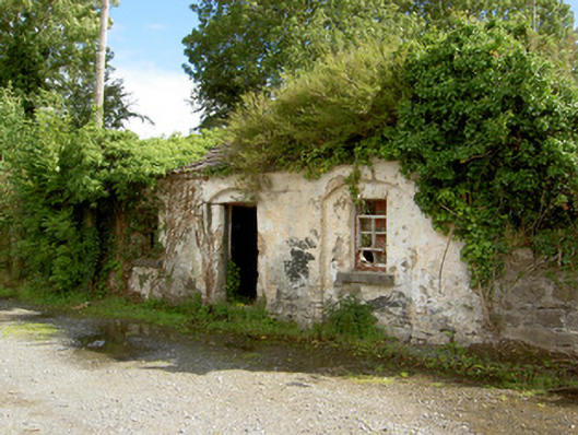 39th Locklock keeper's house · 587 yd
 Mound in ClynanMound · 1515 yd
 Enclosure in LisnacreevyEnclosure · 1515 yd
 Abbeyshrule AbbeyRuins · 1715 yd
 Common LimeCommon Lime · 1.0 mi
 European BeechEuropean Beech · 1.5 mi
 Goldsmith Birthplace, PallasVisitor information · 1.6 mi
 Not locatedCastle, unclassified · 1.8 mi
 Craft WorkshopHeritage attraction · 2.2 mi
 Guest ServicesVisitor information · 2.2 mi
 DoonphilipCastle, motte · 2.3 mi