What is recorded here
A vertical-wheeled water mill is depicted on the Down Survey (1655-6) barony map of Kells, County Kilkenny on the S bank of the Kings River, in Rathculbin townland (Hibernia Regnum, courtesy of Trinity College Dublin). The location of the mill corresponds roughly to a stretch of the river NE of where a ford is indicated on the 1948 revision of the OS 6-inch map. The precise location of this mill is unknown.
See attached:
KK027-058----_01 extract from the Down Survey (1655-6) barony map of Kells, County Kilkenny (Hibernia Regnum, courtesy of Trinity College Dublin)
Compiled by: Jean Farrelly
Date of upload: 23 May 2023
The monument record does not grant public access. Check the route and ask the landowner before entering private land.
- What survives
- Recorded monument
Places near here
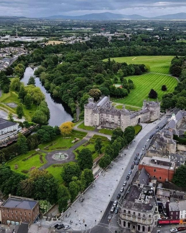 Enclosure in RathculbinEnclosure · 15 yd
 Castle (in ruins)House, 16th/17th century · 748 yd
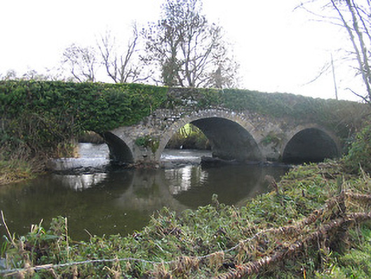 Newtown Bridgebridge · 1022 yd
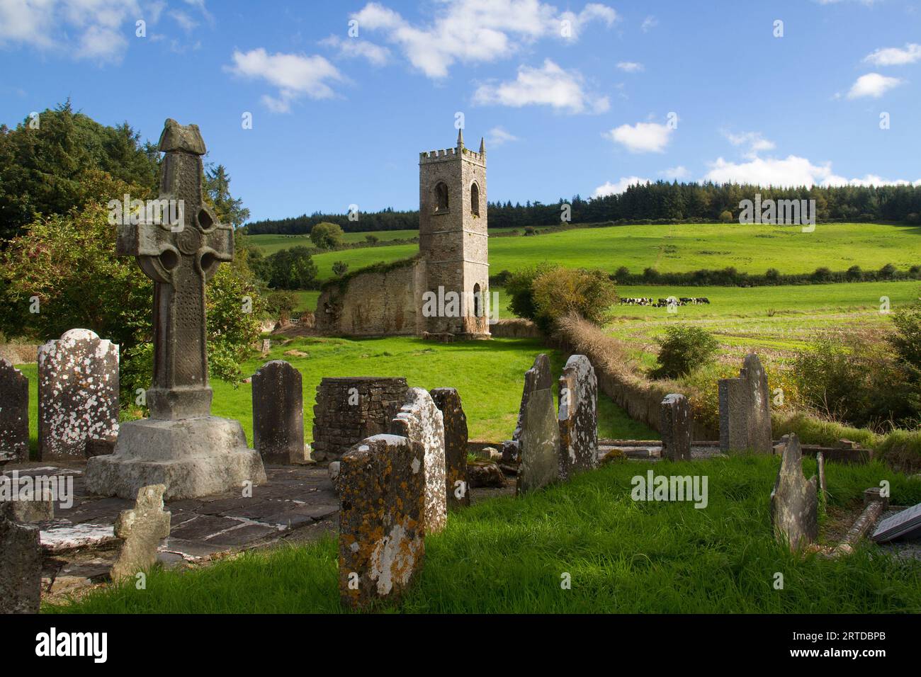 Rathculbin RathArchaeological place · 1022 yd
 TowerHouse, fortified house · 1224 yd
 IndicatedBawn · 1231 yd
 BawnwilliamForest · 1.6 mi
 Sally OsiersForest · 1.7 mi
 Lacken WellSpring · 1.9 mi
 Famous Horses of KellsMemorial · 2.0 mi
 Mill IslandIslet · 2.0 mi
 Pat WalshMemorial · 2.3 mi