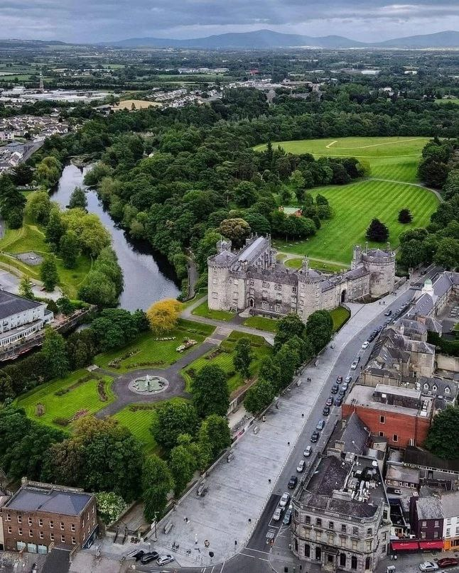
What is recorded here
Surrounded by pasture, the monument itself is heavily overgrown with trees and scrub. It is indicated on the 1st (1839) ed. OS 6-inch map and the 1948 revision as an irregularly shaped area (diam. c. 44m). The latter edition shows a deep fosse enclosing the monument from NW-N-SE and a pond immediately to the SW. Another enclosure (KK027-027----) is located c. 45m to the N.
Compiled by: Jean Farrelly
Date of upload: 28 March 2023
The monument record does not grant public access. Check the route and ask the landowner before entering private land.
- What survives
- Recorded monument
Places near here
 Castle (in ruins)House, 16th/17th century · 753 yd
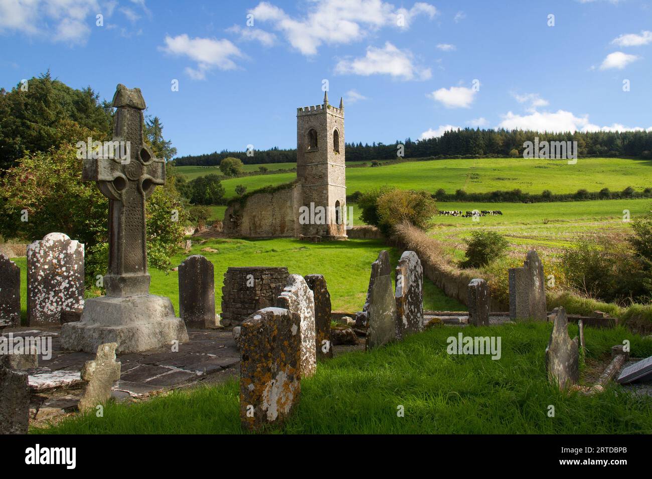 Rathculbin RathArchaeological place · 1017 yd
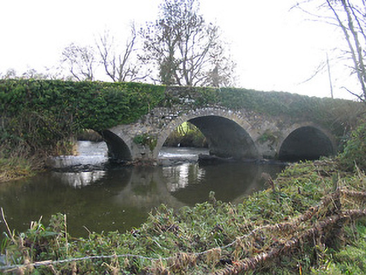 Newtown Bridgebridge · 1034 yd
 TowerHouse, fortified house · 1221 yd
 IndicatedBawn · 1229 yd
 TobernagibbogeHoly well · 1577 yd
 BawnwilliamForest · 1.6 mi
 Sally OsiersForest · 1.6 mi
 Lacken WellSpring · 1.9 mi
 Famous Horses of KellsMemorial · 2.0 mi
 Mill IslandIslet · 2.0 mi
 Pat WalshMemorial · 2.3 mi
Other information
Photo: Credit not shown in the picture search · Rights wording not checked; contact us if this picture should be removed