What is recorded here
Described in the Civil Survey (1654-6) as 'a Mill by the side of the River of Shewer uppon the Brooke called Tallowe' on the lands of 'Gortgambon' which in 1640 were under the proprietorship of the Earl of Ormond (Simington 1931, vol. 1, 277). This mill is unlocated within the townland of Poulakerry.
Compiled by: Jean Farrelly
Date of upload: 26 August 2011
The monument record does not grant public access. Check the route and ask the landowner before entering private land.
- What survives
- Recorded monument
Places near here
 Castle (in ruins)Castle, tower house · 528 yd
 Kilsheelan Ch. (in ruins)Church · 773 yd
 Garden of RenewalNature reserve · 778 yd
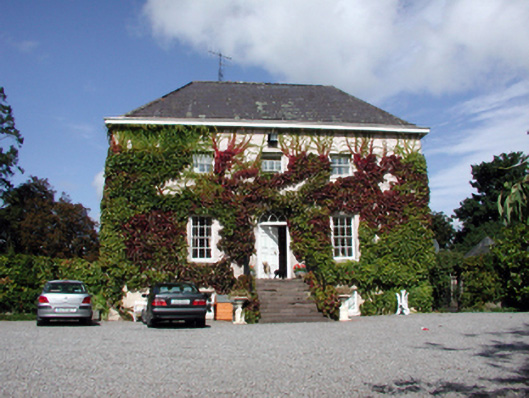 Landscape Househouse · 786 yd
 KilsheelanSettlement deserted, medieval · 802 yd
 Enclosure in Seskin (kilsheelan Par.)Enclosure · 821 yd
 Pedunculate OakPedunculate Oak · 947 yd
 Gurteen CastleCastle · 1.0 mi
 CarrigeenseebohillaMountain / peak · 1.6 mi
 CarrigcoumMountain / peak · 1.7 mi
 Maurice DavinMemorial · 2.6 mi
 Carrigaloe RockNamed rock · 3.7 mi