
What is recorded here
On a gentle N-facing slope in undulating terrain under tillage. Identified as a sub-circular cropmark on aerial photographs (ASIAP (27) 33, 37). It is associated with a conjoined enclosure (TS084-084-018004-) to the E and another (TS084-018004-) conjoined to this to the E. There is no visible trace of these at ground level. Associated with these enclosures are two other conjoined enclosures (TS084-018003- and TS084-018007-), a smaller enclosure (TS084-018006-) and a field system (TS084-018001-), also visible as cropmarks.
Compiled by: Jean Farrelly
Date of revised upload: 23 October 2014
This remains an important historical record, but the official description says the monument is no longer visible or has been destroyed. The monument record does not grant public access. Check the route and ask the landowner before entering private land.
- What survives
- No visible remains or recorded as destroyed
Places near here
 Castle (in ruins)Castle, tower house · 1133 yd
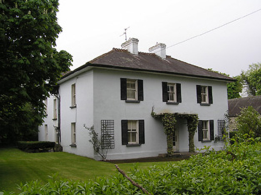 Kilsheelan Househouse · 1267 yd
 Saint Mary's Catholic Churchchurch/chapel · 1310 yd
 KilsheelanSettlement deserted, medieval · 1394 yd
 Garden of RenewalNature reserve · 1429 yd
 Pedunculate OakPedunculate Oak · 1752 yd
 Enclosure in BallynarahaEnclosure · 1.1 mi
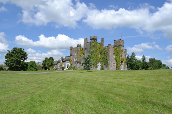 Ballyglasheen CastleCastle · 1.2 mi
 CarrigeenseebohillaMountain / peak · 2.0 mi
 CarrigcoumMountain / peak · 2.1 mi
 Maurice DavinMemorial · 2.7 mi
 Carrigaloe RockNamed rock · 3.3 mi
Other information
Photo: Credit not shown in the picture search · Rights wording not checked; contact us if this picture should be removed