What is recorded here
According to the Civil Survey (1654-6) 'Upon the sd lands of Moneroe stands … the ruines of an old Mil and a Brooke running in the meare of the sd lands on the Westl', which in 1640 was under the ownership of several people, 'Lewes Walsh of Thurles Esqr Thomas O Hogan of Youghill Gent Dermott O Bryen of Cleyduffe Gent Donogh O Bryen of the same Gent. And Morogh O Hogan of the same Gent All Irish Papists' (Simington 1934, vol.2, 139). This mill is unlocated within Monroe townland.
The above description is derived from 'The Archaeological Inventory of County Tipperary. Vol. 1 - North Tipperary' compiled by Jean Farrelly and Caimin O'Brien (Dublin: Stationery Office, 2002). In certain instances the entries have been revised and updated in the light of recent research.
Date of upload/revision: 22 September 2008
The monument record does not grant public access. Check the route and ask the landowner before entering private land.
- What survives
- Recorded monument
Places near here
 Youghalarra National Schoolschool · 541 yd
 Monroe Castle in ruinsCastle, unclassified · 752 yd
 Newtown Housegates/railings/walls · 1064 yd
 Blessed WellNature reserve · 1131 yd
 Shantom BushRitual site, holy tree/bush · 1733 yd
 IndicatedFairy fort / earthen ringfort · 1.1 mi
 Mass RockNamed rock · 1.5 mi
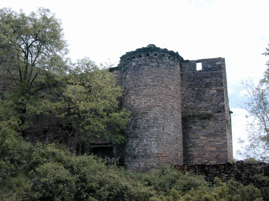 (Site of) Pallas CastleCastle, Anglo-Norman masonry castle · 1.5 mi
 Youghal BayBay · 2.0 mi
 Giant's GraveArchaeological place · 2.3 mi
 Garrykennedy ForestWood · 2.5 mi
 CopperminesCave · 2.7 mi