
What is recorded here
Unable to locate any bush with evidence of religious offerings attached to its branches in area marked on 6" OS 6-inch map. Described by O'Donovan (OS name Books) as 'Sean Tuam, are two Irish words which signify "Old Bush" and this is a thorn of great antiquity. It is also called the Fairy Bush'.
The above description is derived from 'The Archaeological Inventory of County Tipperary. Vol. 1 - North Tipperary' compiled by Jean Farrelly and Caimin O'Brien (Dublin: Stationery Office, 2002). In certain instances the entries have been revised and updated in the light of recent research.
Date of upload/revision: 22 September 2008
A local holy well or ritual site; wider significance not recorded.
The monument record does not grant public access. Check the route and ask the landowner before entering private land.
- What survives
- Recorded monument
Places near here
 Knockshane RathFairy fort / earthen ringfort · 581 yd
 Newtown Millmill (water) · 740 yd
 Pallas Church (in Ruins)Church · 915 yd
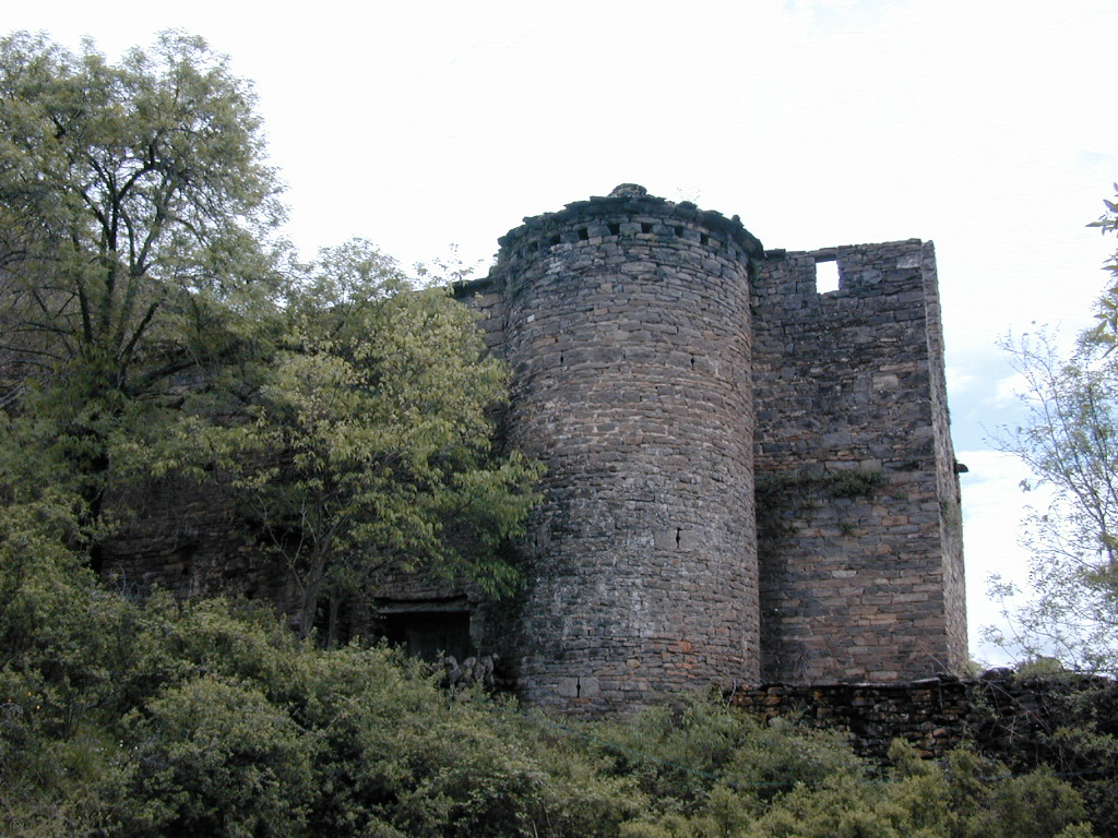 (Site of) Pallas CastleCastle, Anglo-Norman masonry castle · 1506 yd
 ToberbreedaHoly well · 1706 yd
 Monroe Castle in ruinsCastle, unclassified · 1.2 mi
 Blessed WellNature reserve · 1.6 mi
 Giant's GraveArchaeological place · 2.1 mi
 Mass RockNamed rock · 2.4 mi
 Corbally HillMountain / peak · 2.7 mi
 Youghal BayBay · 2.9 mi
 Coum HillMountain / peak · 3.2 mi
Other information
Photo: Credit not shown in the picture search · Rights wording not checked; contact us if this picture should be removed