What is recorded here
Situated in rolling grassland at the E foot of a low hill. A corn mill was marked in this location on the Down Survey map (1655-6). On inspection only a small pond fed by a spring well was found.
Compiled by: Mary Tunney
Date of upload: 8 December 2011
The monument record does not grant public access. Check the route and ask the landowner before entering private land.
- What survives
- Recorded monument
Places near here
 Site of Kilkieran ChurchChurch · 297 yd
 Enclosure in Carrigeen (gowran By.)Enclosure · 440 yd
 Rathcoole Church (in ruins)Church · 626 yd
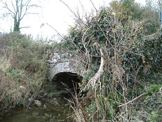 Kilkieran Bridgebridge · 819 yd
 IndicatedBawn · 1546 yd
 Gleann Dick ForestForest · 1696 yd
 The CummerForest · 1.3 mi
 Ballyfoyle Castle (in ruins)Castle, tower house · 2.1 mi
 St. Mogarra’s WellSpring · 2.4 mi
 KilkennyVisitor information · 3.5 mi
 Kilkenny County Council Car ParkVisitor information · 3.7 mi
 Market Yard GatesMemorial · 3.8 mi