
What is recorded here
Enclosure in Carrigeen (gowran By.) stands on a steep E-facing slope at the SE end of a small N-S ridge in County Kilkenny, Ireland. Its wide flat-topped bank, steep-sided fosse and denuded outer bank form a large roughly circular area with a probable original southern entrance and a modern eastern gap. Three small mounds sit in the western interior, possibly barrows if the enclosure is prehistoric, though they may be later if it is a ringfort. The place preserves a boundary shaped before memory, watching the rolling grassland below.
On quite a steep E-facing slope at the SE end of a small N-S ridge, rising from a broad expanse of rolling and mostly reclaimed grassland. Very good views in all directions. A large and roughly circular area (diam. 56m N-S; 58m E-W) defined by a wide flat-topped bank (Wth at crest 2m; overall Wth 7.5m; int. H 0.6m; ext. H 2.4m), a wide steep-sided flat-bottomed fosse (Wth 3.5m) and a much denuded outer bank (Wth 2m; int. H 1.6m; ext. H 0.4m). There is a gap (Wth 4m) in the bank in the E quadrant, but no causeway, which suggests this is modern. An entrance (Wth 3m) in the S quadrant is probably original, it has a steep, ramped causeway. The interior slopes to the E. The western portion of the interior is 0.45m higher than the eastern half. The division, which bisects the monument from N-S, is marked by a step. In the W quadrant there are three small mounds (KK015-018002-; KK015-018003-; KK015-018004-). The date and function of these mounds is unknown. If the enclosing element is a ringfort then it is unlikely that the mounds are archaeological. However, if the enclosure is prehistoric in date, then it is possible that the mounds may be barrows.
Compiled by: Jean Farrelly
Date of upload: 29 February 2016
This monument is subject to a preservation order made under the National Monuments Acts 1930 to 2014 (PO no. 5/1956).
The monument record does not grant public access. Check the route and ask the landowner before entering private land.
- What survives
- Recorded monument
Places near here
 Rathcoole Church (in ruins)Church · 313 yd
 Site of Kilkieran ChurchChurch · 680 yd
 IndicatedBawn · 1124 yd
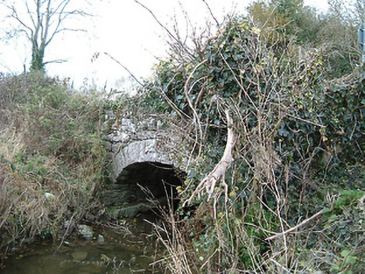 Kilkieran Bridgebridge · 1180 yd
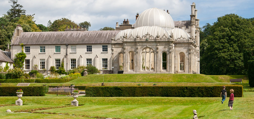 Enclosure in KilderryEnclosure · 1217 yd
 Gleann Dick ForestForest · 1.2 mi
 The CummerForest · 1.6 mi
 St. Mogarra’s WellSpring · 2.2 mi
 Clara CastleCastle, tower house · 2.3 mi
 KilkennyVisitor information · 3.4 mi
 Kilkenny County Council Car ParkVisitor information · 3.5 mi
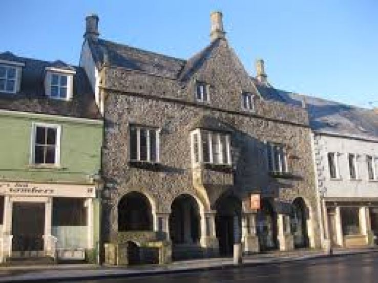 Rothe familyMemorial · 3.7 mi
Other information
Photo: Credit not shown in the picture search · Rights wording not checked; contact us if this picture should be removed