What is recorded here
According to the Civil Survey (1654-6) in Ballygriffin there is 'one tucking mill & one corne mill' associated with Ballygriffin (Simington 1934, vol. 2, 8). The Multeen River flows along the SW boundary of the townland and the River Suir flows along the S-SE boundary of the townland. These mills are unlocated within the townland and could be associated with either river, though only the 'River Shewir' is mentioned in the Civil Survey description of the townland.
Compiled by: Jean Farrelly
Date of upload: 26 August 2011
The monument record does not grant public access. Check the route and ask the landowner before entering private land.
- What survives
- Recorded monument
Places near here
 Settlement cluster in Ballygriffin (ballygriffin Par.)Settlement cluster · 350 yd
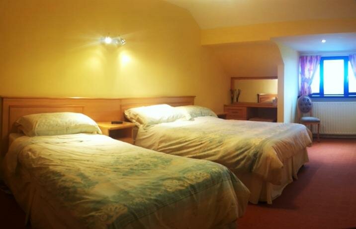 Ballygriffin Ch. (in ruins)Church · 400 yd
 CastleHouse, fortified house · 447 yd
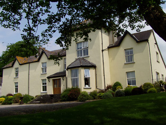 Ballygriffin Househouse · 496 yd
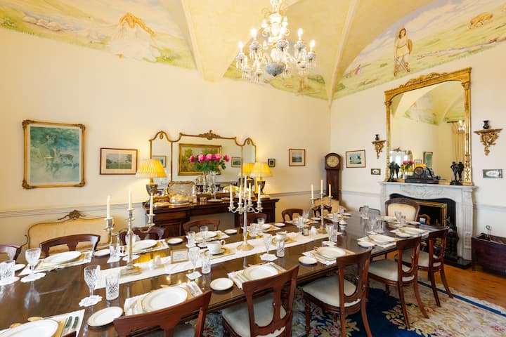 Enclosure in Lisheen (ballygriffin Par.)Enclosure · 577 yd
 Castle (in ruins)Castle, tower house · 1079 yd
 European ashEuropean ash · 1.6 mi
 Athassel PrioryHeritage attraction · 2.7 mi
 Hore AbbeyHeritage attraction · 3.7 mi
 Dundrum Woods (Marl Bog)Forest · 4.0 mi
 I.R.A. 3rd. Tipperary Brigade MemorialMemorial · 7.2 mi
 The Maid of ErinMemorial · 8.1 mi