
What is recorded here
In flat reclaimed pasture which falls away to the Multeen River valley to the W. Approx. 120m N of the medieval church (TS060-049001-) and graveyard (TS060-049003-) at Ballygriffin a number of earthworks were identified on an aerial photograph (CUCAP 19 July 1967 ATA 49). On field inspection the roughly circular feature visible on the aerial photograph is an old disused quarry. There are some undulations running northward from this quarry and a couple of banks running southward from the quarry towards the church and graveyard, however, these are only visible as very subtle undulations and do not form any definable pattern.
Compiled by: Jean Farrelly
Date of upload: 26 August 2011
The monument record does not grant public access. Check the route and ask the landowner before entering private land.
- What survives
- Recorded monument
Places near here
 Ballygriffin Ch. (in ruins)Church · 107 yd
 CastleHouse, fortified house · 212 yd
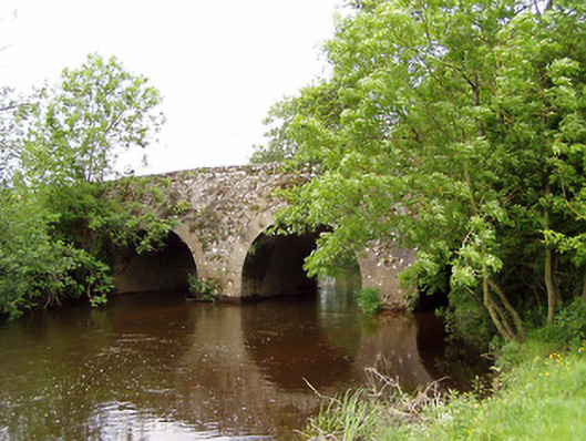 Ballygriffin Bridgebridge · 226 yd
 Enclosure in GoldenhillsEnclosure · 624 yd
 IndicatedEnclosure · 913 yd
 Castle (in ruins)Castle, tower house · 971 yd
 European ashEuropean ash · 1.6 mi
 Athassel PrioryHeritage attraction · 2.6 mi
 Dundrum Woods (Marl Bog)Forest · 3.9 mi
 Hore AbbeyHeritage attraction · 3.9 mi
 I.R.A. 3rd. Tipperary Brigade MemorialMemorial · 7.0 mi
 The Maid of ErinMemorial · 7.9 mi
Other information
Photo: Credit not shown in the picture search · Rights wording not checked; contact us if this picture should be removed