
What is recorded here
In improved pasture, on a very gentle NNW-facing slope. Circular area (dims. 16m E-W; 15m N-S) defined by scarp (Wth 1.35m; H 0.45m) of earth and stone. Stone facing evident on exterior of scarp in places. Remains of fosse (overall Wth 4.7m; basal Wth 1.85m; D 0.1m). Interior has a gentle NNE-facing slope. Depicted on latest edition OS 6-inch map as a circular feature (diam. c. 15m).
Compiled by: Jean Farrelly
Date of upload: 26 August 2011
The monument record does not grant public access. Check the route and ask the landowner before entering private land.
- What survives
- Recorded monument
Places near here
 Cliff-edge fort in Mantlehill GreatCliff-edge fort · 575 yd
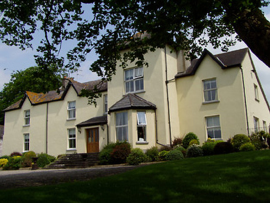 Ballygriffin Househouse · 701 yd
 CastleHouse, fortified house · 732 yd
 Ballygriffin Ch. (in ruins)Church · 827 yd
 Enclosure in GoldenhillsEnclosure · 853 yd
 Bawn in CastleparkBawn · 1.0 mi
 European ashEuropean ash · 2.1 mi
 Athassel PrioryHeritage attraction · 2.2 mi
 Hore AbbeyHeritage attraction · 3.5 mi
 Dundrum Woods (Marl Bog)Forest · 4.4 mi
 I.R.A. 3rd. Tipperary Brigade MemorialMemorial · 7.2 mi
 The Maid of ErinMemorial · 8.1 mi
Other information
Photo: Credit not shown in the picture search · Rights wording not checked; contact us if this picture should be removed