What is recorded here
The precise location of a watermill which stood on the N bank of the Ballynaclogh River to the E of Ballinacurra Bridge (LI013-012----) and castle (LI013-114----) has not been identified. The 1654-56 Civil Survey of Limerick recorded that Thomas Arthur late of Limerick, alderman and Irish papist who was lately deceased and owner in Ballinacurra of a 'broken castle & a Mill seate' (Simington 1938, 474). The castle of Ballinacurra is depicted standing beside a bridge (LI013-012----) crossing Ballynaclogh River on the 17th century Down Survey map of South Liberties Barony (Hib. Reg.). A tower house like castle (LI013-114----) is depicted standing beside Ballinacurra Bridge (LI013-012----) and a watermill on the 17th century Down Survey map of the parishes of St. Michael's and St. Nicholas (NLI, MS. 718).
Compiled by: Caimin O'Brien
Date of upload: 26 November 2020
The monument record does not grant public access. Check the route and ask the landowner before entering private land.
- What survives
- Recorded monument
Places near here
 Lissadaha (1924) - HachuredFairy fort / earthen ringfort · 352 yd
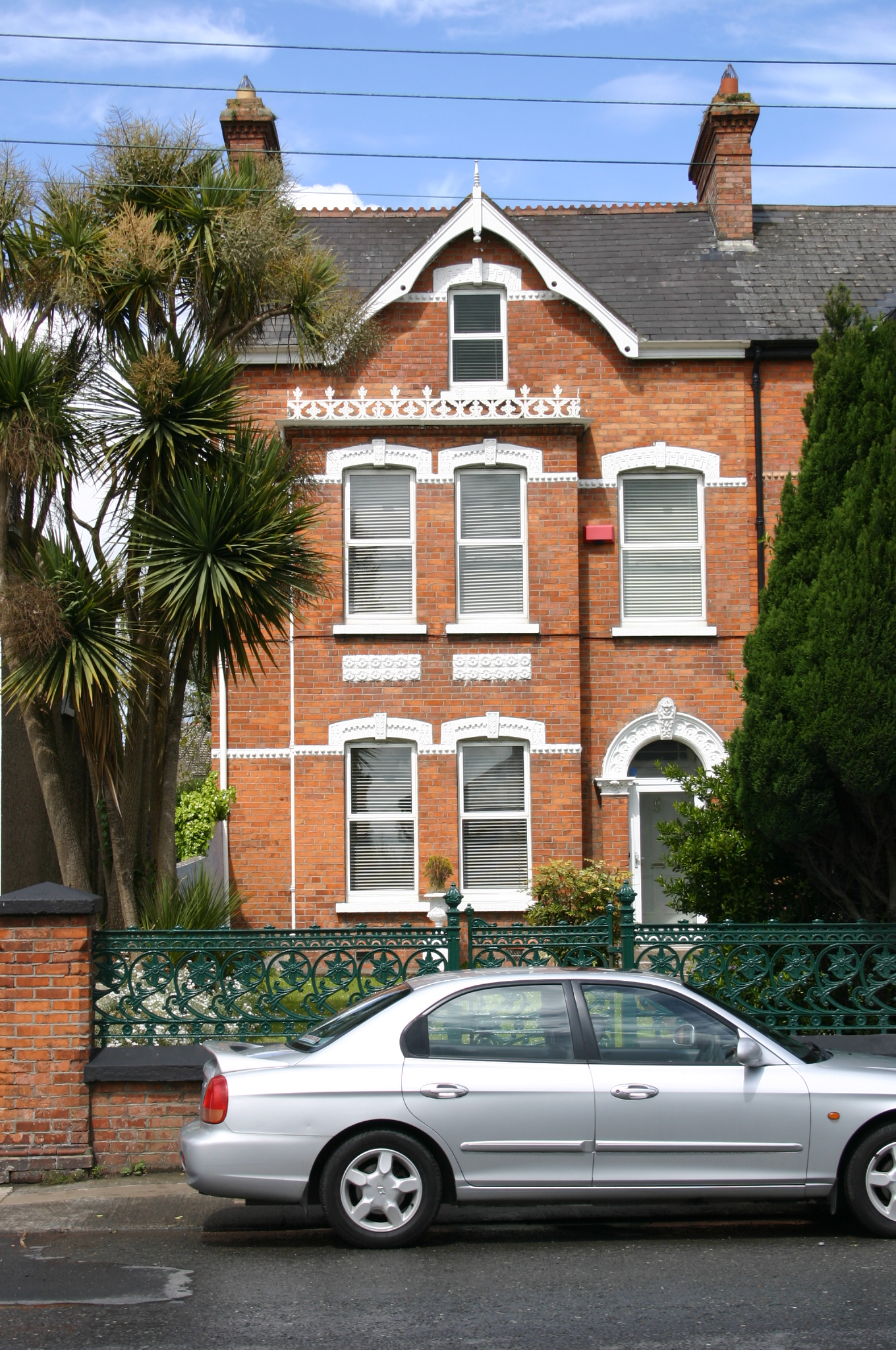 Kilbridehouse · 554 yd
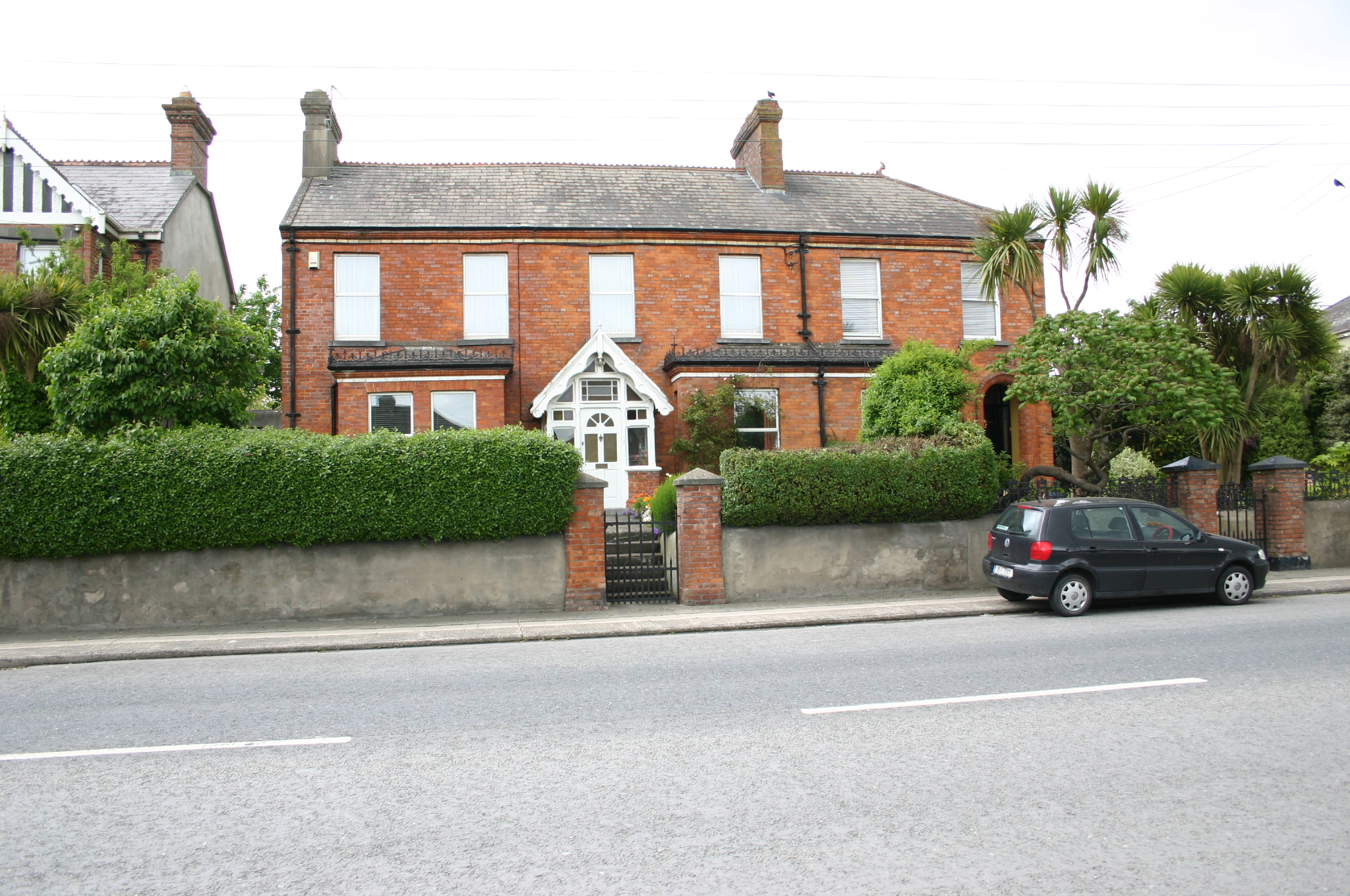 Marymounthouse · 606 yd
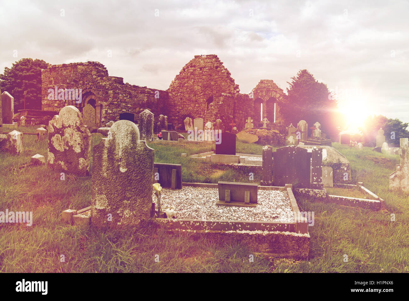 Grave YardGraveyard · 821 yd
 Limerick War MemorialMemorial · 1681 yd
 Limerick Seamen's MemorialMemorial · 1.1 mi
 Castle Blake or Farranshone (Site of)Castle, unclassified · 1.6 mi
 Castle (in ruins)Castle, tower house · 1.7 mi
 King's IslandIsland · 1.9 mi
 Fountain SculptureHeritage attraction · 3.2 mi
 Visitor CentreVisitor information · 3.3 mi
 Campus MapVisitor information · 3.3 mi