What is recorded here
Horizontal watermill located on wet marshy land with bullaun stone (WM036-019---) 20m to NE and castle (WM036-018---) 150m to WNW. In 1980 the following was recorded about this horizontal mill it was ‘found in a field-drainage operation in 1965, the drain being enlarge on the edge of marginal land on the slightly rising ground towards Moate. This must at one time have been a small rivulet or stream with a relatively small flow of water. Nothing now remain of the mill at the original find-spot. Some 20m away in the next field is a bullaun stone (WM036-019----) to the NE. Thus the mill may be associated with a church site as in so many other cases. The side-beams from the site have been removed for use as a field-fence in the next field. One of these is 2.7m long, and is squared 0.3m x 0.28m. This is of oak. Another plank from the floor of the wheelhouse is 1.7m long, 30cm wide and 10cm thick. Both are of oak. The plank was taken for dating by dendro-chronological examination. In the corner of the field where the mill was found, half of the upper stone of the mill was recovered. It has a fine raised lip around the central hole, and is a millstone grit type of rock’ (SMR File 07/10/1980).
Compiled by: Caimin O'Brien
Date of upload: 22 July 2015
The monument record does not grant public access. Check the route and ask the landowner before entering private land.
- What survives
- Recorded monument
Places near here
 Partially indicatedFairy fort / earthen ringfort · 902 yd
 Farnaghcountry house · 1420 yd
 Partially hachuredFairy fort / earthen ringfort · 1551 yd
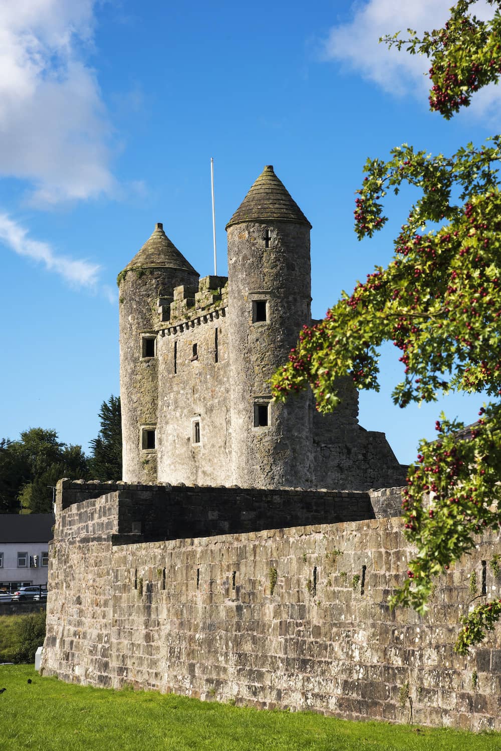 CastleCastle, tower house · 1562 yd
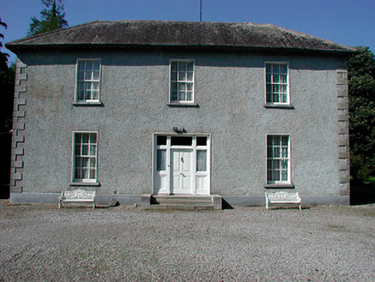 Baltrasna Househouse · 1.3 mi
 Cloghawareschal CastleCastle, unclassified · 1.5 mi
 Dún na SíMuseum · 1.7 mi
 Dún na Sí Heritage CentreMuseum · 1.8 mi
 Charles BianconiMemorial · 1.9 mi
 Moate HillMountain / peak · 1.9 mi
 European ashEuropean ash · 4.0 mi
 Roughan HillMountain / peak · 4.2 mi