
What is recorded here
Single-span railway viaduct over river valley, built 1850, with two-arch abutments to north and to south. Renovated, 1877, with span replaced. Rock-faced limestone ashlar walls to abutments with tooled-limestone ashlar chamfered stringcourse to piers, cast-iron tie plates, and tooled limestone ashlar stringcourse supporting parapets having cut-limestone coping. Pair of segmental arches to abutments with round traverse relieving arches to piers having tooled cut-limestone stringcourses to spring of arches, rock-faced limestone ashlar voussoirs, and cut-limestone soffits. Replacement single span, 1877, with pair of wrought iron bow string girders. Sited spanning River Nore valley with grass banks to river.
Originally built by John (1780-1868) and Robert (1810-81) Mallet of Dublin to designs prepared by Captain William Scarth Moorsom (1804-63) an elegantly-composed viaduct of national importance forms a dramatic landmark rising above the River Nore valley in the outskirts of Thomastown: at the time of completion the viaduct represented the longest single railway bridge span in the British Isles. The construction in refined locally-sourced limestone exhibits the high quality stone masonry expected from artefacts associated with the development of the Waterford and Maryborough [Portlaoise] Branch extension of the Great Southern and Western Railway line by the Waterford and Kilkenny Railway Company. Improved by Courtney, Stephens and Bailey of Dublin to designs prepared by Charles Richard Galwey (1840-94) the viaduct has subsequently been carefully maintained, thereby contributing significantly to the character of the locality.
This does not grant access. Most recorded buildings are privately owned; view them only from public ground unless the owner allows entry.
Places near here
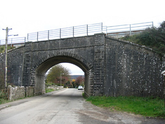 bridgebridge · 569 yd
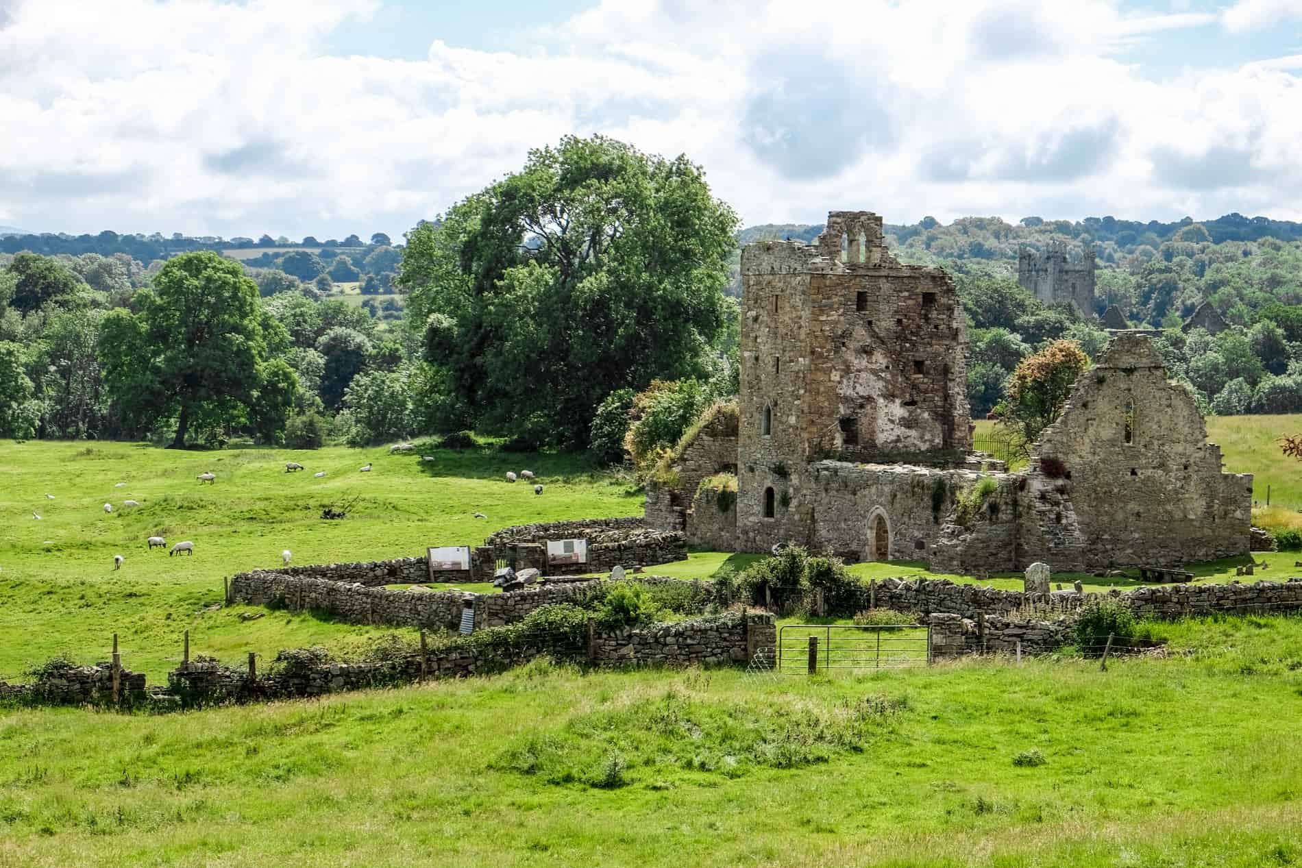 Enclosure in Jerpoint WestEnclosure · 576 yd
 Thomastown Railway Stationrailway station · 681 yd
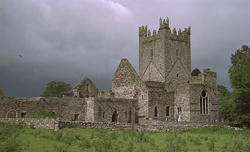 Jerpoint AbbeyHeritage attraction · 911 yd
 Holy WellSpring · 995 yd
 Oliver (Ollie) WalshMemorial · 1241 yd
 Town defences in ThomastownTown defences · 1275 yd
 The Yellow GateMemorial · 1502 yd
 Fox CovertForest · 1.0 mi
 Thomastown QuarryNature reserve · 1.2 mi
 Bawn in LeganBawn · 1.2 mi
 Dysart Castle (in Ruins)Castle, tower house · 1.7 mi
Other information
Photo: National Inventory of Architectural Heritage · Website use allowed for educational or private purposes with source credit