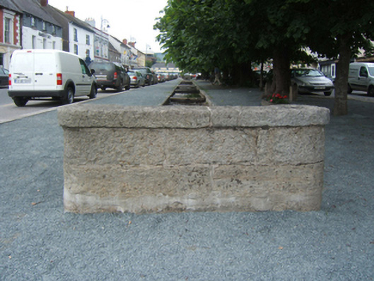
What is recorded here
Channelled stream, extant 1839, on an elongated plan between lichen-spotted cut-granite kerbed retaining walls centred on paired cut-granite slab footbridges; granite ashlar culvert screens having lichen-spotted cut-granite coping.
A lime tree-lined channelled stream representing an important component of the built heritage of Bunclody. NOTE: Variously cited as the centrepiece of a "new town" planned by the Maxwells of Woodfield [Newtownbarry House] or 'the idea of the late [Robert Westley] Hall-Dare to have an abundance of water for household purposes conveyed through the street in this manner' (Bassett 1885, 345).
From the Buildings of Ireland (National Inventory of Architectural Heritage) record 15602071
This does not grant access. Most recorded buildings are privately owned; view them only from public ground unless the owner allows entry.
Places near here
Photo credits
- National Inventory of Architectural Heritage
- Alvesgaspar, Wikimedia Commons · CC BY-SA 3.0
- kevin higgins, Geograph · CC BY-SA 2.0
- Sitomon, Wikimedia Commons · CC BY-SA 2.0
- Liam Hughes from Milwaukee, WI, USA, Wikimedia Commons · CC BY 2.0
- Keogh Anna Maria, Wikimedia Commons · CC BY-SA 4.0
- Theresa Bois, Wikimedia Commons · CC BY-SA 4.0
- kevin higgins, Wikimedia Commons · CC BY-SA 2.0
- Smirkybec, Wikimedia Commons · CC BY-SA 4.0
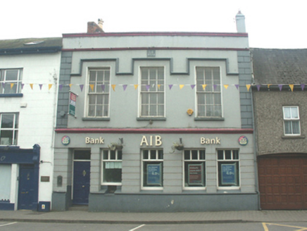 Allied Irish BankHouse · 23 yd
 Common Lime35 yd
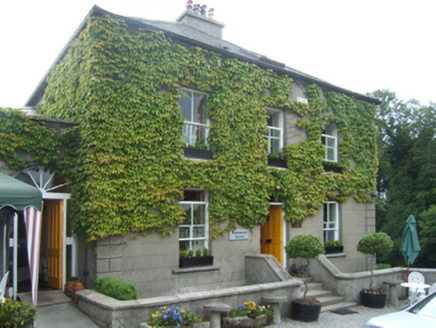 manse81 ydBunclody 1798 Bicentenary MemorialMemorial · 91 yd1798 rebellion Battle of Newtownbarry (aka Bunclody) commemorative plaqueMemorial · 200 yd
 John's HillMountain / peak · 2.1 mi
 European Yew2.4 mi
 Huntington CastleHouse, fortified house · 2.4 mi
 Huntington CastleCastle · 2.4 mi
.jpg/250px-Huntington_Castle,_Co._Carlow_(back).jpg "Photo: Theresa Bois, Wikimedia Commons · CC BY-SA 4.0") Huntington Castle & GardensHeritage attraction · 2.4 mi
Huntington Castle & GardensHeritage attraction · 2.4 mi GreenogeMountain / peak · 3.0 mi
 ToberranananHoly well · 3.8 mi
More historic places in County Wexford · All of County Wexford
What do you know about this place?