What is recorded here
Deadman's Grave occupies a narrow strip where Aldfreck, Lockstown and Mullaghmossan touch, yet no clear date, shape or event has survived to explain the name. The place holds more absence than fact: a man may have fallen, a border may have swallowed him, or a village may have stopped repeating his story. What remains is the warning embedded in the naming, a grave without a body and a boundary without a witness.
The official Northern Ireland record identifies this as UNCERTAIN: DEADMAN'S GRAVE. Recorded period: UNCERTAIN. The official map point was placed at the centre of the recorded archaeological site from the source map reference.
The monument record does not grant public access. Check the route and ask the landowner before entering private land.
- What survives
- Recorded monument
Places near here
 ENCLOSURE (unlocated) in BallyedwardENCLOSURE (unlocated) · 1079 yd
 ENCLOSURE & STRUCTURE in AldfreckENCLOSURE & STRUCTURE · 1494 yd
 Magheramorne Presbyterian ChurchChurch · 1636 yd
 Swan IslandIslet · 1.8 mi
 POST-MED CHURCH; MEDIEVAL PARISH CHURCH; GRAVEYARD: TEMPLECORRAN CHURCH or TEMPLE-I-CORRAN or LISLAYNAN in Forthill (ballycarry)POST-MED CHURCH; MEDIEVAL PARISH CHURCH; GRAVEYARD: TEMPLECORRAN CHURCH or TEMPLE-I-CORRAN or LISLAYNAN · 2.1 mi
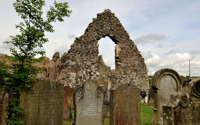 TemplecorranRuins · 2.1 mi
 FORTIFICATIONFORTIFICATION, BAWN · 2.2 mi
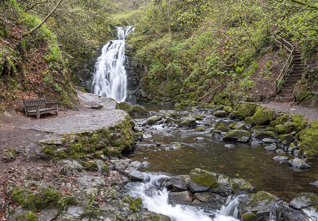 Glenoe WaterfallWaterfall · 2.6 mi
 the gobbins pathHeritage attraction · 2.9 mi
 CavesCave · 3.0 mi
 Gordon's LeapBay · 3.0 mi
 Otter CaveCave · 3.0 mi