What is recorded here
Situated at the highest point of a ridge. Circular flat-topped sand and gravel mound (base diam. 27m; H 5-7m). It has been damaged at the SE by digging, and there is an oval hollow at the summit. The tumulus was apparently opened in the early 19th century and yielded an urn of coarse pottery containing bones and ashes (Waddell 1990, 166).
The above description is derived from the published 'Archaeological Inventory of County Wicklow' (Dublin: Stationery Office, 1997). In certain instances the entries have been revised and updated in the light of recent research.
Date of upload/revision: 17 December 2008
This monument is subject to a preservation order made under the National Monuments Acts 1930 to 2014 (PO no. 151/1940).
A Bronze Age burial mound; its location on a prominent ridge suggests ritual or strategic significance.
The monument record does not grant public access. Check the route and ask the landowner before entering private land.
- What survives
- Recorded monument
Places near here
 Enclosure in Cronyhorn LowerEnclosure · 850 yd
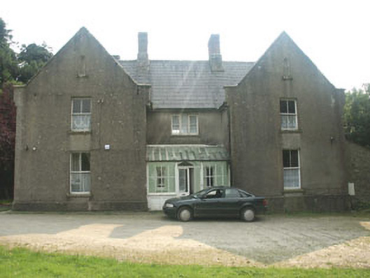 The Old Rectoryrectory/glebe/vicarage/curate's house · 1377 yd
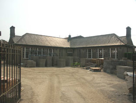 Carnew Technical Schoolschool · 1518 yd
 Enclosure in TombreenEnclosure · 1558 yd
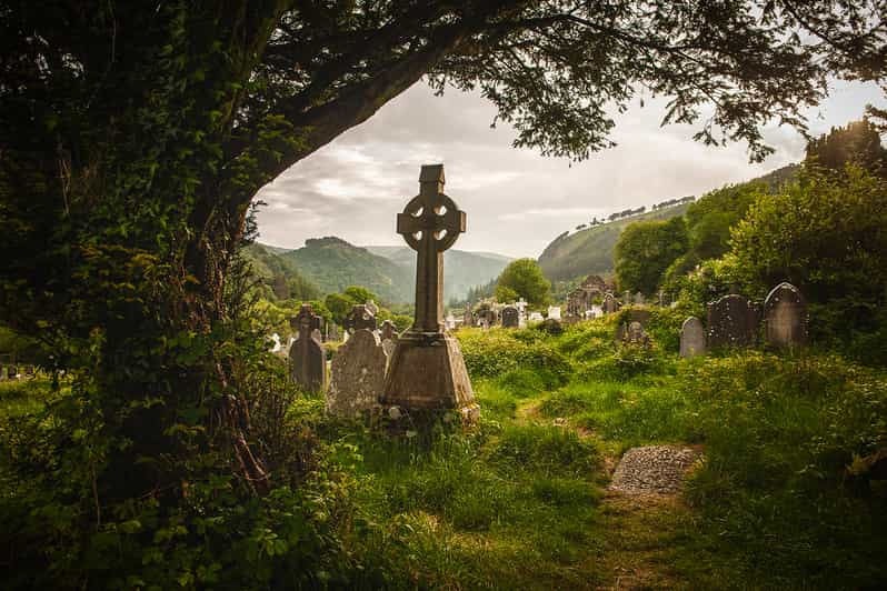 Carrig WoodForest · 2.1 mi
 Ballyknocker WoodWood · 2.2 mi
 Blue SchoolMemorial · 3.0 mi
 Saint Brigid's WellSpring · 3.5 mi
 SlieveboyMountain / peak · 3.8 mi
 SlievegowerMountain / peak · 3.8 mi
 Clonogan Castle (site of)Castle, unclassified · 5.1 mi
 Huntington Castle & GardensHeritage attraction · 5.4 mi