
What is recorded here
Marked 'Turras Columbkille' on 1905 ed. of OS 6-inch map. Its location is derived from the fieldwork map for the 'Archaeological Survey of County Donegal' (1983). Described by Ó Muirgheasa in 1936 as 'There is a Turus Colmcille at Colmcille's Holy Well about a mile from Massinass School. Stations are still made there' (Ó Muirgheasa 1936, 153) (Ó Muirgheasa No. 58)
Compiled by Caimin O'Brien
Date of upload/revision: 04 November 2011
Linked to St. Columba (Columbkille), the well or site is traditionally associated with healing and pilgrimage, reflecting the widespread veneration of the 6th-century Irish saint across the Gaelic world. The name suggests a long-standing local tradition, though specific cures or rituals connected to Turras Columbkille, Masiness are not well documented.
The monument record does not grant public access. Check the route and ask the landowner before entering private land.
- What survives
- Recorded monument
Places near here
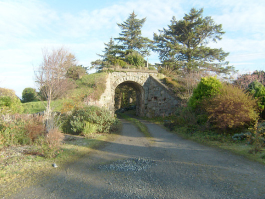 bridgebridge · 537 yd
 Saint Michael's Catholic Churchchurch/chapel · 610 yd
 Dermot & Grania's BedArchaeological place · 628 yd
 Devil's Sentry Box EnclosureEnclosure · 1162 yd
 Duntally Wood Nature ReserveNature reserve · 1388 yd
 Ards Forest ParkForest recreation place · 1.7 mi
 Doe CastleCastle, tower house · 1.8 mi
 The TunnelHeritage attraction · 2.2 mi
 Ards Friary Coastal LoopOfficial walking route · 2.7 mi
 Clonmass IslandIslet · 3.4 mi
 Mc Swynes CastleCastle, unclassified · 3.5 mi
 Boys IslandIslet · 3.6 mi
Other information
Photo: Credit not shown in the picture search · Rights wording not checked; contact us if this picture should be removed