
What is recorded here
Map note: The map marks Turgesius' Fort as an ancient site in County Westmeath, Ireland. The past can keep its secrets; the map gives you a starting point.
Turgesius' Fort is recorded as an archaeological place in County Westmeath.
From OpenStreetMap (© OpenStreetMap contributors) w1520075291
Places near here
Picture notes
- Computer-made picture. It does not show this monument.
- National Inventory of Architectural Heritage
- Computer-made picture. It does not show this playground.
- N Chadwick, Wikimedia Commons · CC BY-SA 2.0
- Willow, Wikimedia Commons · CC BY 2.5
- Computer-made picture. It does not show this walking route.
- Steve & Jemma Copley on Flickr, Wikimedia Commons · CC BY-SA 2.0
 IndicatedEarthwork · 832 ydComputer-made picture
 Earthwork in GillardstownEarthwork · 873 ydComputer-made picture
 Lough Park HouseCountry house · 1013 yd
 Fairy fort / earthen ringfort in GillardstownFairy fort / earthen ringfort · 1291 ydComputer-made picture
 Fairy fort / ringfort in GillardstownFairy fort / ringfort · 1.1 miComputer-made picture
 Enclosure in GillardstownEnclosure · 1.1 miComputer-made picture
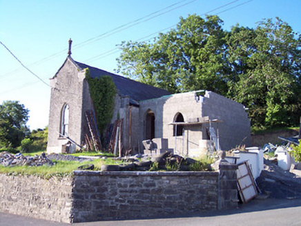 Castlepollard Presbyterian ChurchChurch/chapel · 1.7 mi
 Town ParkChildren's playground · 1.8 miComputer-made picture
 South East GateVisitor attraction · 2.1 mi
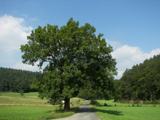 European ash2.1 mi
 St Feichin's WayWalking route · 2.3 miComputer-made picture
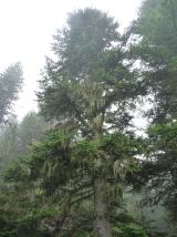 Silver Fir3.0 mi
More archaeology and monuments in County Westmeath · All of County Westmeath

What do you know about this place?Tap to add a comment or ask a question