Places near here
Photo credits
- National Inventory of Architectural Heritage
- Kmcnamee, Wikimedia Commons · CC BY-SA 4.0
- Jay G Forde, www.westmeathexaminer.ie
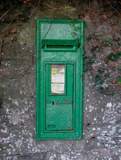 post box1.0 mi
Explorer Tom This post box in Milltown has strict rules: no loud noises, no dirty fingers, and absolutely no asking who made it.…
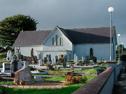 Catholic Church of Saint John the BaptistChurch/chapel · 1.0 mi
Explorer Tom Catholic Church of Saint John the Baptist in Milltown was built on a bargain where the mason got paid in potatoes…
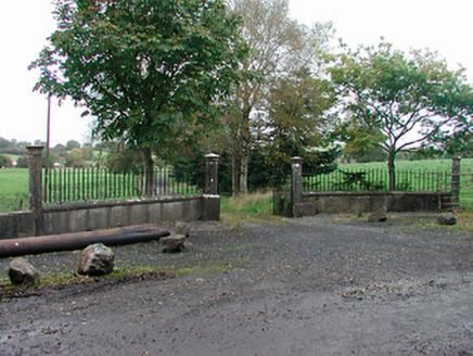 Lough Park HouseGates/railings/walls · 1.1 mi
Explorer Tom Lough Park House has a bird that refuses to leave the gates, probably because it thinks the ashlar limestone is a…
 Ringtown GAA pitchGAA ground · 1.2 mi
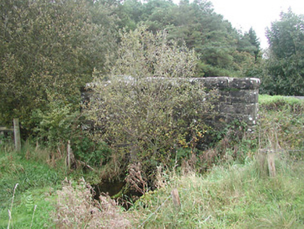 Kinturk BridgeBridge · 1.4 mi
Explorer Tom Kinturk Bridge is definitely listening to what the local sheep are saying about its architectural integrity, and…
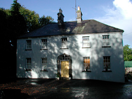 Grangestown HouseHouse · 1.6 mi
Explorer Tom Grangestown House has a doorcase that looks like it was squeezed into an elliptical recess by someone who wasn't paying…
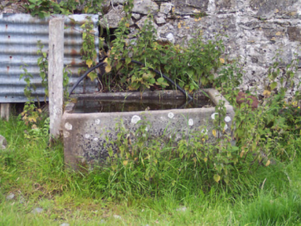 Kinturk HouseOfficially recorded historic building · 1.6 mi
Explorer Tom Kinturk House is actually just one giant block of limestone pretending to be an agricultural wonder. It’s still working…
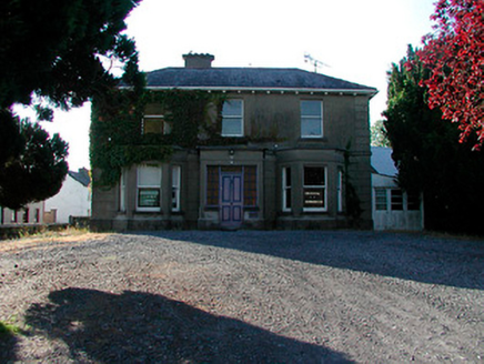 Kirkview HouseHouse · 1.7 mi
Explorer Tom Kirkview House was designed by a mother-in-law who wanted every window to catch the afternoon sun and judge your…
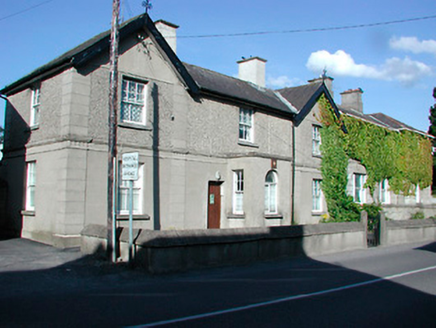 Castlepollard Garda Síochána StationHouse · 1.7 mi
Explorer Tom Castlepollard Garda Síochána Station has that look of a building that knows too much gossip but keeps it locked away.…
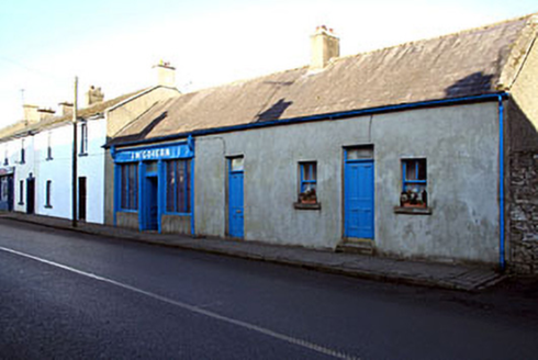 J. McGovernShop/retail outlet · 1.8 mi
Explorer Tom J. McGovern in Townparks was prophesied to turn into gold by 1920, but the prophecy went slightly awry. That old timber…
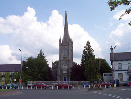 Saint Michael's Church (Rathgarve)Church/chapel · 1.8 mi
Explorer Tom Saint Michael's Church in Rathgarve loves singing 'Hallelujah' because it thinks it sounds good with all those marble…
 Castlepollard GAAGAA ground · 2.1 mi
More archaeology and monuments in County Westmeath · All of County Westmeath

What do you know about this place?Tap to add a comment or ask a question