What is recorded here
A 'Tunnel' is marked and named on the OS 6-inch map. This dates from post-1700 AD.
Compiled by: Elizabeth Byrne, Ursula Egan and Sheila Ronan, Archaeological Survey Unit, University College, Cork.
Date of upload: 30 May 2011
The monument record does not grant public access. Check the route and ask the landowner before entering private land.
- What survives
- Recorded monument
Places near here
 Hut site in GortacreenteenHut site · 293 yd
 SheepfoldHut site · 771 yd
 Bridge in Inchimore (glanarought By., Kenmare Ed)Bridge · 957 yd
 KnocknamanaghMountain / peak · 1382 yd
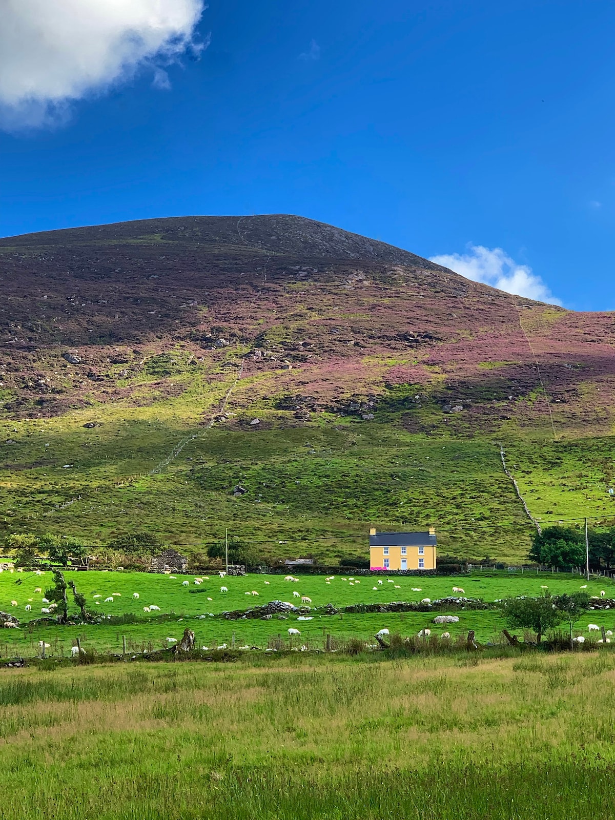 Gullaba HillMountain / peak · 1534 yd
 CaoinkeenCliff · 1.5 mi
 Kilgarvan Motor MuseumMuseum · 2.7 mi
 Battle of Callannbattle · 2.8 mi
 Bullaun StoneHeritage attraction · 3.7 mi
 Great Southern & Western RailwayMemorial · 3.8 mi
 Castle (Site of)Castle, unclassified · 3.9 mi