What is recorded here
In narrow wet valley, c. 5m to N of River Feale. Not shown on 1842 and 1904 OS 6-inch maps. Wedge-shaped grass-covered mound (L 60.25m; max. Wth 19m, min. Wth 6.5m; H max. 5.2m), long axis NE-SW.
From the National Monuments Service (Archaeological Survey of Ireland) record CO004-019
The monument record does not grant public access. Check the route and ask the landowner before entering private land.
- What survives
- Recorded monument
Places near here
Photo credits
- National Inventory of Architectural Heritage
- Jonathan Thacker, Geograph · CC BY-SA 2.0
- Mike Searle, Geograph · CC BY-SA 2.0
- Mike Searle, Wikimedia Commons · CC BY-SA 2.0
- A.-K. D., Wikimedia Commons · CC BY-SA 4.0
- The Speckled Bird, Wikimedia Commons · CC BY-SA 4.0
- Colin Park, Geograph · CC BY-SA 2.0
- EecherplazGinkgo06.jpg : Cayambe derivative work: Ginkgotree ( talk ), Wikimedia Commons · CC BY-SA 3.0
- Marathon, Geograph · CC BY-SA 2.0
- Mike Murphy ( talk · contribs ), Wikimedia Commons · CC BY-SA 3.0
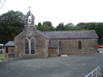 Saint Peter's ChurchChurch/chapel · 1.5 mi
 Saint Joseph's ChurchChurch/chapel · 4.0 mi
 Three CountiesPicnic place · 4.4 mi
 Glenduff CastleCastle, tower house · 4.8 mi
 Glenquin CastleCastle · 5.9 mi
 Saint Ite's WellSpring · 6.0 mi
 Kanturk CastleHeritage attraction · 13 mi
 The Paps WestMountain / peak · 21 mi
 Ginkgo23 mi
 Monsignor Hugh O'Flaherty MemorialMemorial · 24 mi
 Giant Sequoia24 mi
 Circular WalkWalking route · 24 mi
More archaeology and monuments in County Cork · All of County Cork
What do you know about this place?