
What is recorded here
In open parkland on the grounds of Oldconnell House, some 230m E of the River Liffey. A large well-preserved, circular, steep sided, flat-topped earthen mound (base diams. 76m N-S; 69m E-W; summit diams. 21.7m N-S; 20.8m E-W; max H. 11.2m at E; 10.5m at W) is surrounded by a wide, shallow fosse (max. Wth 11.4m at W; max D. 3m). A cresentic bailey at W (L 55m E-W; Wth 29.2m N-S) is defined by a scarp except at E where the fosse separates it from the motte.
Compiled by: Gearóid Conroy
Date of upload: 25 May 2012
A local castle; wider significance not recorded.
The monument record does not grant public access. Check the route and ask the landowner before entering private land.
- What survives
- Recorded monument
Places near here
 Church in RuinsChurch · 203 yd
 Font in OldconnellFont · 265 yd
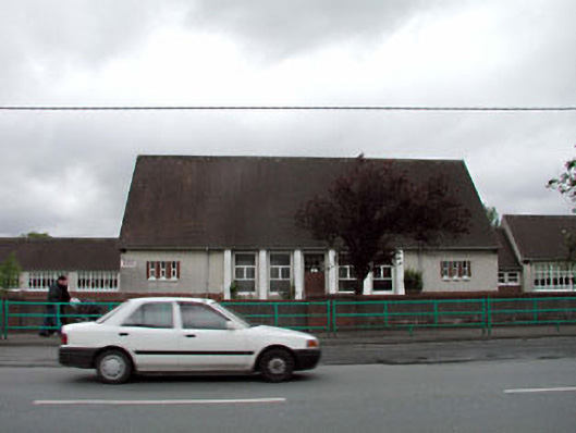 Saint Conleth's and Saint Mary's National Schoolschool · 703 yd
 Sarsfield Castle (Site of)Castle, unclassified · 1367 yd
 Enclosure in PiercetownEnclosure · 1435 yd
 Newbridge SilverwareMuseum · 1709 yd
 CastleCastle, unclassified · 1.4 mi
 Pollardstown Fen Nature ReserveNature reserve · 2.5 mi
 ElderElder · 3.9 mi
 Hill of AllenMountain / peak · 4.2 mi
 Grand Canal WayVisitor information · 5.7 mi
 Bithia Mary CrokerMemorial · 9.0 mi
Other information
Photo: Credit not shown in the picture search · Rights wording not checked; contact us if this picture should be removed