
What is recorded here
In a built up suburb of Newbridge town. Shown on the 1st ed. (1838) of the OS 6-inch map as the S part of a circular enclosure (est. ext. diam. c. 45m) truncated by a road NW-N-NE, the enclosing element from ENE-SE acting as portion of the townland boundary between Piercetown and Moorfield. No visible surface traces survived in 1986, the area being a small open space skirted along the W by a modern curving access road to a housing estate (SMR file).
Compiled by: Gearóid Conroy
Date of upload: 23 May 2012
A local fairy fort (ringfort/rath); wider significance not recorded.
The monument record does not grant public access. Check the route and ask the landowner before entering private land.
- What survives
- Recorded monument
Places near here
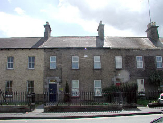 McElwain Househouse · 345 yd
 Charlotte Househouse · 357 yd
 Newbridge SilverwareMuseum · 936 yd
 CastleCastle, unclassified · 1270 yd
 Enclosure in RickardstownEnclosure · 1382 yd
 TumulusCastle, motte and bailey · 1435 yd
 Font in OldconnellFont · 1699 yd
 Pollardstown Fen Nature ReserveNature reserve · 1.9 mi
 ElderElder · 3.4 mi
 Saint Fiachra's GardenHeritage attraction · 4.7 mi
 Grand Canal WayVisitor information · 6.0 mi
 Bithia Mary CrokerMemorial · 8.5 mi
Other information
Photo: Credit not shown in the picture search · Rights wording not checked; contact us if this picture should be removed