What is recorded here
In open parkland on the grounds of Oldconnell House, some 230m E of the River Liffey. A large well-preserved, circular, steep sided, flat-topped earthen mound (base diams. 76m N-S; 69m E-W; summit diams. 21.7m N-S; 20.8m E-W; max H. 11.2m at E; 10.5m at W) is surrounded by a wide, shallow fosse (max. Wth 11.4m at W; max D. 3m). A cresentic bailey at W (L 55m E-W; Wth 29.2m N-S) is defined by a scarp except at E where the fosse separates it from the motte.
From the National Monuments Service (Archaeological Survey of Ireland) record KD023-012
Places near here
Photo credits
- National Inventory of Architectural Heritage
- Kenneth Allen, Wikimedia Commons · CC BY-SA 2.0
- Willow, Wikimedia Commons · CC BY 2.5
- Sarah777 at English Wikipedia, Wikimedia Commons · Public domain
- Mike Searle, Geograph · CC BY-SA 2.0
- Eoghan888 at English Wikipedia, Wikimedia Commons · Public domain
- Kk, Wikimedia Commons · CC0
- Alex Passmore, Geograph · CC BY-SA 2.0
- Credit not shown, Wikimedia Commons · Creative Commons Attribution-ShareAlike 4.0
- John Michael Wright, Wikimedia Commons · Public domain
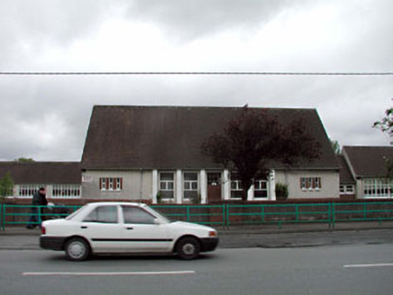 Saint Conleth's and Saint Mary's National SchoolSchool · 703 yd
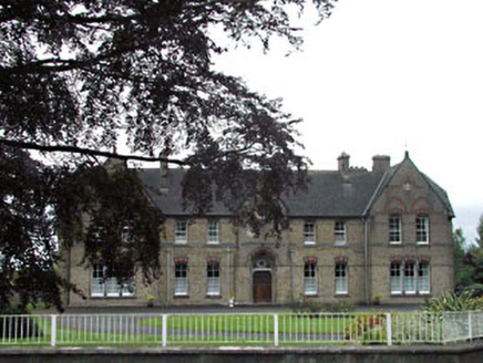 Holy Family ConventConvent/nunnery · 739 yd
 Newbridge SilverwareMuseum · 1709 yd
 Elder3.9 mi
 The CurraghEarthwork · 4.2 mi
 Allen TowerDesigned landscape, folly · 4.2 mi
 Hill of AllenMountain / peak · 4.2 mi
 European Crab Apple4.2 mi
 Castle RagCastle, tower house · 4.6 mi
 Grand Canal WayVisitor information · 5.7 mi
 IndicatedCastle, motte · 7.2 mi
 Battle of KilrushBattle · 9.3 mi
More castles and forts in County Kildare · All of County Kildare

What do you know about this place?Tap to add a comment or ask a question