
Places near here
Photo credits
- National Inventory of Architectural Heritage
- Kenneth Allen, Geograph · CC BY-SA 2.0
- DS Pugh, Wikimedia Commons
- Oliver Dixon, Geograph · CC BY-SA 2.0
- Golfing in Ireland; photographer not stated, Source publisher
- Archaeomoonwalker, Wikimedia Commons · CC BY 3.0
- Colin Park, Geograph · Creative Commons Attribution-ShareAlike 2.0
- Stephen Armstrong, Wikimedia Commons · CC BY-SA 2.0
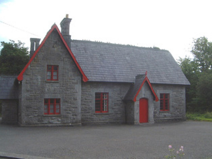 Lissadell National SchoolSchool · 398 yd
Explorer Tom Lissadell National School had a cow try to buy it once because it liked the wrought-iron gate with the clever latch…
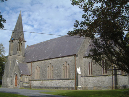 Lissadell Church (Drumcliff)Church/chapel · 409 yd
Explorer Tom Lissadell Church (Drumcliff) is still seething because someone once wrote a poem about it that rhymed ‘Gore’ with…
 Castle (in Ruins)House, fortified house · 2.3 mi
Explorer Tom Ardtermon Castle has a ghost that is too lazy to haunt anyone properly. He just stands in the corner checking his watch…
 Bawn in ArdtermonBawn · 2.3 mi
Explorer Tom The local sheep have strong opinions about this bawn in Ardtermon. They think it’s their personal sunbathing spot, not…
 Ardtermon StrandBeach / strand · 2.4 mi
Explorer Tom Ardtermon Strand is where two lads in the pub made a bet that started it all, probably about who could walk furthest.…
 Oxfield, Drumcliffe/Rosses PointGAA ground · 2.8 mi
 Yellow StrandBeach / strand · 3.1 mi
Explorer Tom Yellow Strand sits on Sligo’s Raghly peninsula, where sand seems to have persuaded the crowds to take the day off.…
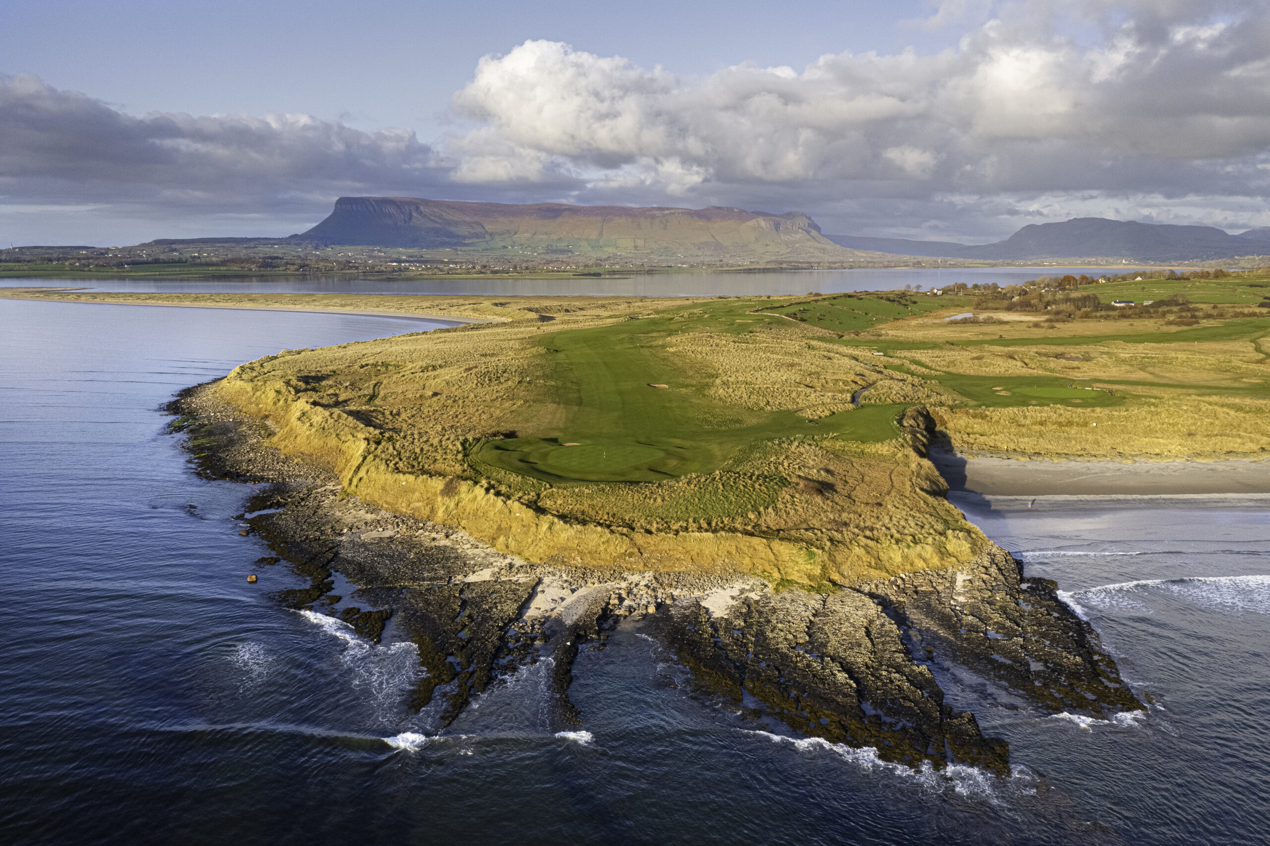 Co. Sligo Golf ClubGolf course · 3.4 mi
 Horse IslandIslet · 3.8 mi
Explorer Tom Horse Island was built by a man who thought he owned a horse but actually just rented the name for a year. He never…
 Promontory fortPromontory fort, coastal · 3.8 mi
Explorer Tom Promontory fort in Ballineden is supposedly guarded by a dog who hasn't seen a real threat since the last century but…
 Graveyard in KillaspugbroneGraveyard · 5.0 mi
Explorer Tom Graveyard in Killaspugbrone is sitting on sand dunes above Sligo Bay, looking like it’s about to win first prize at the…
 Killaspugbrone GraveyardRuins · 5.0 mi
Explorer Tom Killaspugbrone Graveyard in County Sligo has very strong opinions on modern buildings and thinks they all look like…
More archaeology and monuments in County Sligo · All of County Sligo

What do you know about this place?Tap to add a comment or ask a question